Rennradtour - Über Lichtenegg und Hollenthon
Use our AI guide
Do you have any questions about your stay?

Cycling tour Starting from
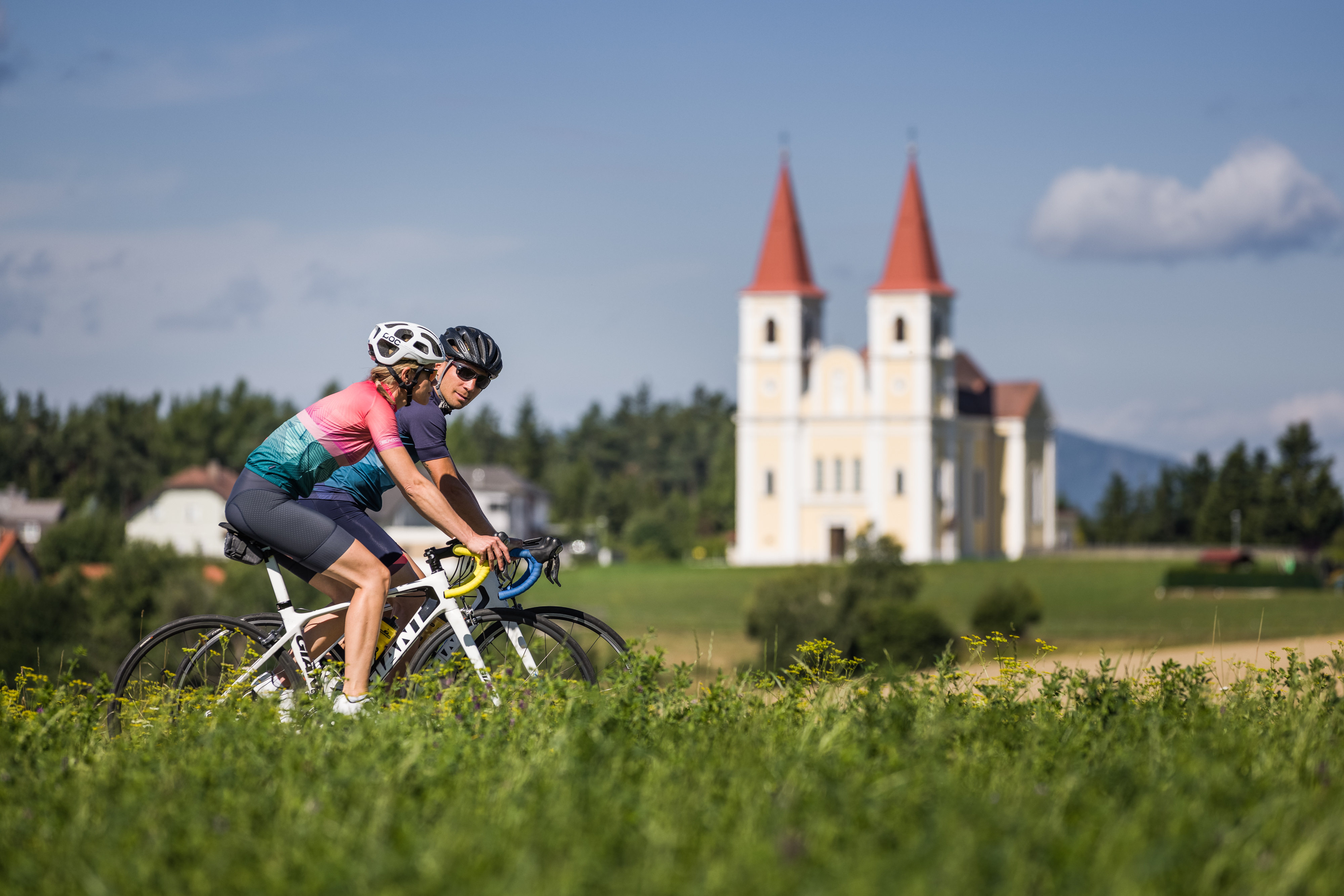
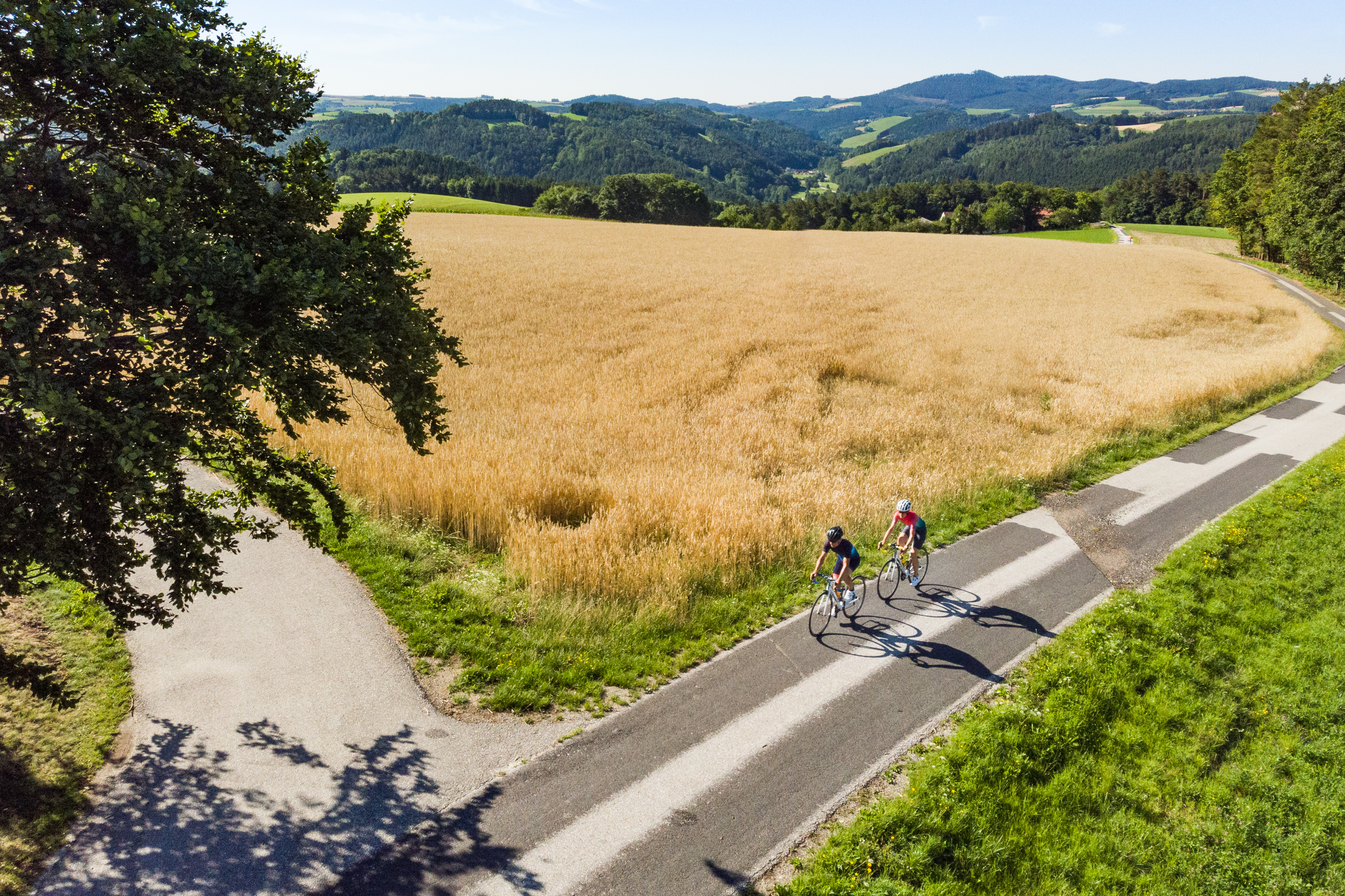
The route leads up the Buckl to the Lichtenegg wind turbine and returns via Hollenthon. On the way you are on side roads with little traffic.
The route leads up the Buckl to the Lichtenegg wind turbine and returns via Hollenthon. On the way you are on side roads with little traffic.