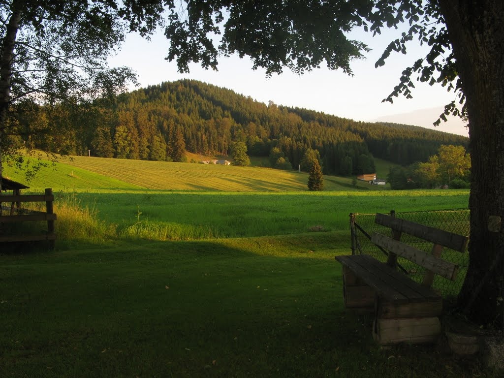
Around the Aichelberg
Use our AI guide
Do you have any questions about your stay?

Hiking tour Starting from Fountain near the information sign in Karlstift
Circular hiking trail no. 86 in Karlstift
Circular hiking trail no. 86 in Karlstift
When choosing your route, make sure it’s appropriate for your fitness level. Check to see if the restaurants and cafes you plan to visit along the way are open. Pack your fully charged cell phone and maps in your backpack. For cross-border tours, please always carry a passport or ID card with you.
Route characteristics: 50% paved road, 40% forest road, 10% dirt road
Sturdy shoes, functional clothing, sun and rain protection, maps, trekking poles if needed, first-aid kit (blister bandages), plenty of food (snacks, granola bars, fruit, water).
From the fountain near the information sign, Trail No. 65 leads to the last house in the “Hinterbrühl” district. Here, continue straight ahead, cross the federal highway, and follow the municipal road toward Stadlberg. Before the first house, turn right onto a forest road, cross the Nordwaldkammweg (No. 105), and continue hiking to Ehrenreichstal, an abandoned lumberjack settlement. Following the ascending forest road, you’ll soon take a sharp right turn and hike over the saddle between Tischberg and Aichelberg. The trail now leads downhill to the valley station of the Aichelberg Lift and through the village back to the starting point.
You can plan your exact route using the VOR route planner. www.vor.at
Market Town of Bad Großpertholz
3972 Bad Großpertholz 138
(T) +43 2857 22530
(E) gemeinde@bad-grosspertholz.gv.at
(I) www.bad-grosspertholz.gv.at
Waldviertel Tourism
3910 Zwettl, Sparkassenplatz 1/2/2
(T) +43 2822 54109
(E) info@waldviertel.at
(I) www.waldviertel.at
Letzte Änderung: 3 Aug 2026