
gpx_addressbase_17111
Rundwanderweg Thalhof-Breitenstein-Semmering
Hiking tour Starting from
- Difficulty: Difficult
- Distance: 22,16 km
- Ascent: 573 m elevation gain
- Descent: 573 m elevation gain
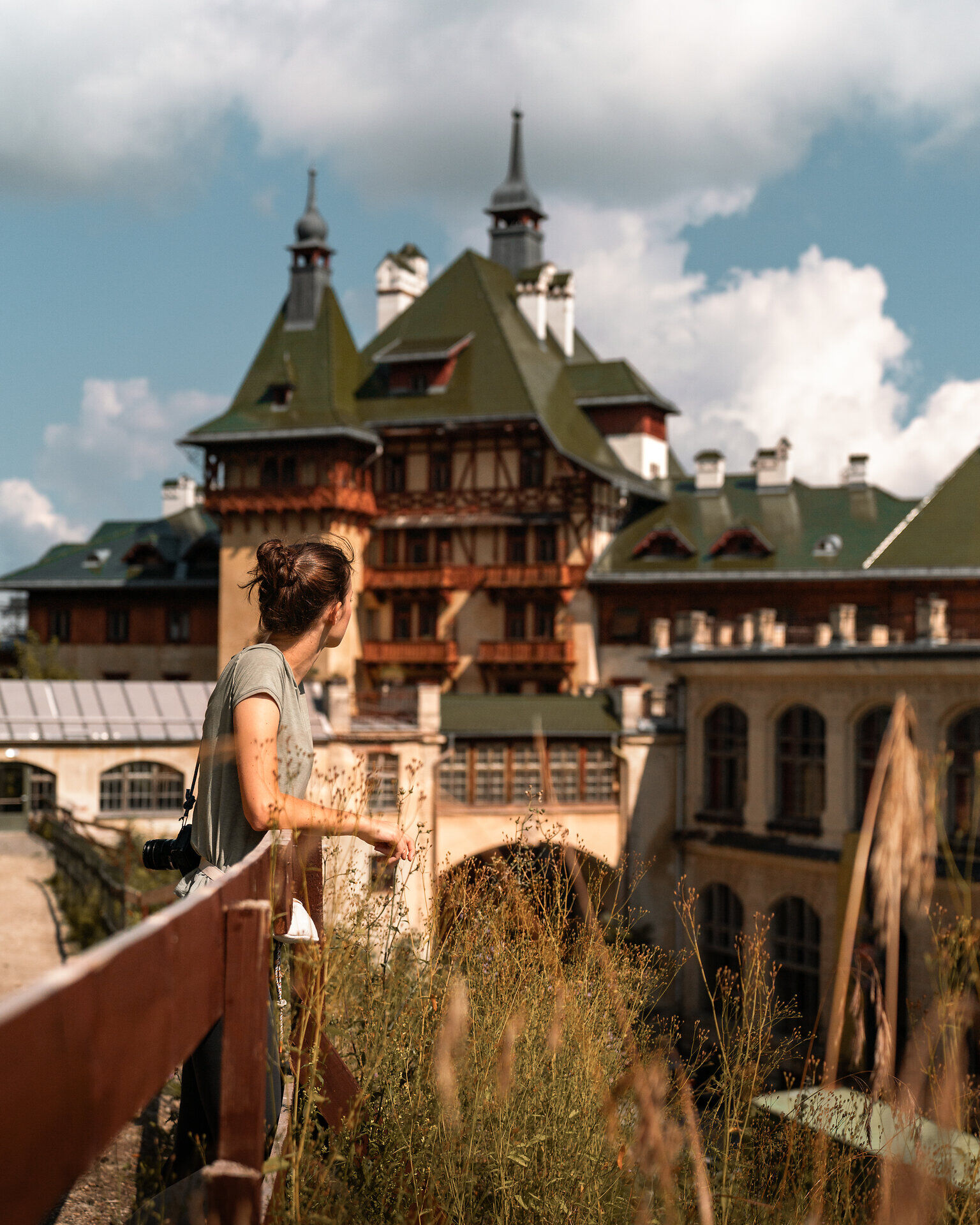
Circular hike: Passhöhe - Hochstraße - via Liechtensteinstraße to Thalhof and Jagdschloss - via Adlitzgraben and Roter Berg past the golf course back to Semmering and via Hochstraße back to Passhöhe.
- Difficulty: Difficult
- Distance: 22,16 km
- Ascent: 573 m elevation gain
- Descent: 573 m elevation gain
- Fitness level required:6/6
- Lowest point860 m
- Highest point1269 m
- Round tour
- With refreshment stops
- Accessibility by train and bus
Circular hike: Passhöhe - Hochstraße - via Liechtensteinstraße to Thalhof and Jagdschloss - via Adlitzgraben and Roter Berg past the golf course back to Semmering and via Hochstraße back to Passhöhe.
Attention: Liechtensteinstraße from kilometer 1.5 (at the intersection with Hans-Dujsik-Straße) is currently closed due to construction work on the water pipe.