

Schindauweg No. 227
Use our AI guide
Do you have any questions about your stay?

Hiking tour Starting from Euratsfeld Market Square - Info Point - D`Speis
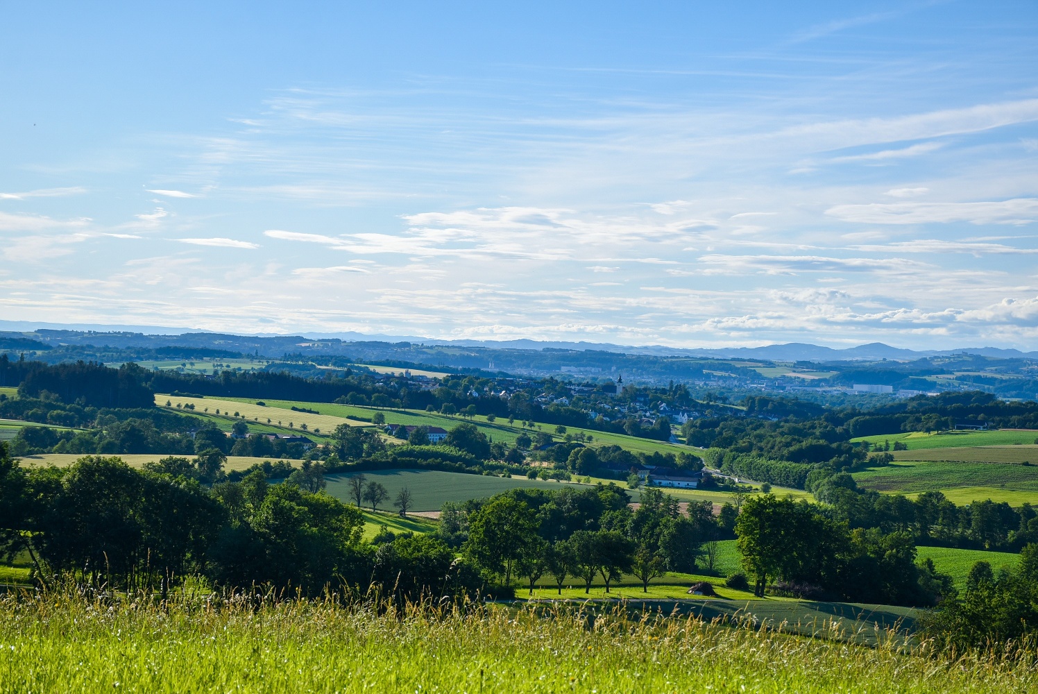
Through fields and meadows, past paddocks and along streams, the Schindauweg trail provides insights into the mill history of Neuhofen and Euratsfeld.
Through fields and meadows, past paddocks and along streams, the Schindauweg trail provides insights into the mill history of Neuhofen and Euratsfeld.
The predominantly flat circular hiking trail leads along field and cycle paths through the local recreation areas of Schindau and Karling and runs along the Zauchbach in the south, on the border with Amstetten, and along the Gafringbach in the east.
Light hiking shoes/equipment recommended
From the market square, we march along the main road to the fire station in Wassergasse, where at the crossing we turn right, a short stretch towards Amstetten, then left through Gewerbegasse down into the mill fields and into the Schindau. First over a concrete bridge and then a stone bridge, we leave Schindau heading south and cross the main road to then walk over the bridge up to the Edelmühle near Zederleiten. At the hunter’s chapel, we turn right and continue marching through the forest to Damberg. From there, it goes down to the main road LH 90 and on the bike and pedestrian path over Pichl roundabout into Haslau (mill) and further to Auberg. Now we walk near the Gafringbach through Karling northwards back to Euratsfeld. From the Stockschützenplatz, the route leads up the street via Bunnenweg into the town center to the starting point.
Parking is available in the town center at Mockplatz, Vetterplatz, and at the parish community center.
From the A1 exit Amstetten West or Amstetten East via the B1 to Euratsfeld. The route is well signposted with "Euratsfeld" or "Randegg".
Take the train to Amstetten and from there the bus to Euratsfeld.
The Waidahammer chapel is easily accessible by a short detour of a few minutes. At the Pichl roundabout, near the Datzberger farmhouse, there is the mill educational trail, which describes in detail the traditional craft of millers and the 11 historic mills on the Zauch. Guided tours of the Haslawmill can be booked in advance at the municipal office.
Letzte Änderung: 15 Jul 2026