
gpx_addressbase_37373
Schweigginger Origin Route
Cycling tour Starting from Schweiggers Infocenter
- Difficulty: Moderate
- Distance: 44,76 km
- Duration: 2:08 h
- Ascent: 361 m elevation gain
- Descent: 361 m elevation gain
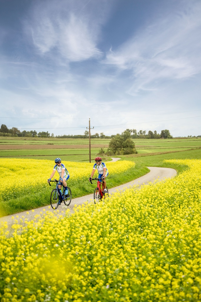
The "Schweigginger Ursprungsrunde" leads through the area of the Martktgemeinde Schweiggers - an approx. 45 kilometer long, moderately difficult cycle route with approx. 400 meters of altitude, which can not only be ridden with normal bicycles, but is also ideally suited for racing bikes.
- Starting point of the tour
- Schweiggers Infocenter
- Tour destination
- Schweiggers Infocenter
- Difficulty: Moderate
- Distance: 44,76 km
- Duration: 2:08 h
- Ascent: 361 m elevation gain
- Descent: 361 m elevation gain
- Fitness level required:3/6
- Overall experience:5/6
- Scenery:5/6
- Lowest point556 m
- Highest point688 m
- Round tour
- Nice views
- With refreshment stops
- Suitable for families and children
The "Schweigginger Ursprungsrunde" leads through the area of the Martktgemeinde Schweiggers - an approx. 45 kilometer long, moderately difficult cycle route with approx. 400 meters of altitude, which can not only be ridden with normal bicycles, but is also ideally suited for racing bikes.
There are also numerous sights along the route, which are marked by special signs and invite you to visit them.
From the Thaya spring and the nearby grass labyrinth to the Bernhardoase near Walterschlag, the Moata and the millennium tower near Siebenlinden, there are numerous interesting Excursion destinations to discover.
The name of the route comes from the fact that the source of the German Thaya, one of the two headwaters of the Thaya, is located in Schweiggers.
The source of the Thaya has always been a trademark of the market town and an important identifying feature for many of its citizens - which can be seen not least in the municipal slogan "Schweiggers at the source".
Make sure when choosing your route that it matches your fitness. Check whether the catering establishments you want to visit along the way are open. Pack your charged mobile phone and map material in your backpack.
Sturdy footwear, functional clothing, sun and rain protection, map material, if necessary telescopic poles, first aid kit (blister plasters), sufficient supplies (snack, muesli bars, fruit, water)
Schweiggers, Mödershöf, Unterwindhag, Kleinwolfgers, Perndorf, Walterschlag, Sallingstadt, Limbach, Sallingstadt, Schafhof, Windhof, Streitbach, Mannshalm, Meinhartschlag, Großreichenbach, Reinbolden, Siebenlinden, Bichlhof, Vierlings, Schwarzenbach, Brunnhöf, Schweiggers
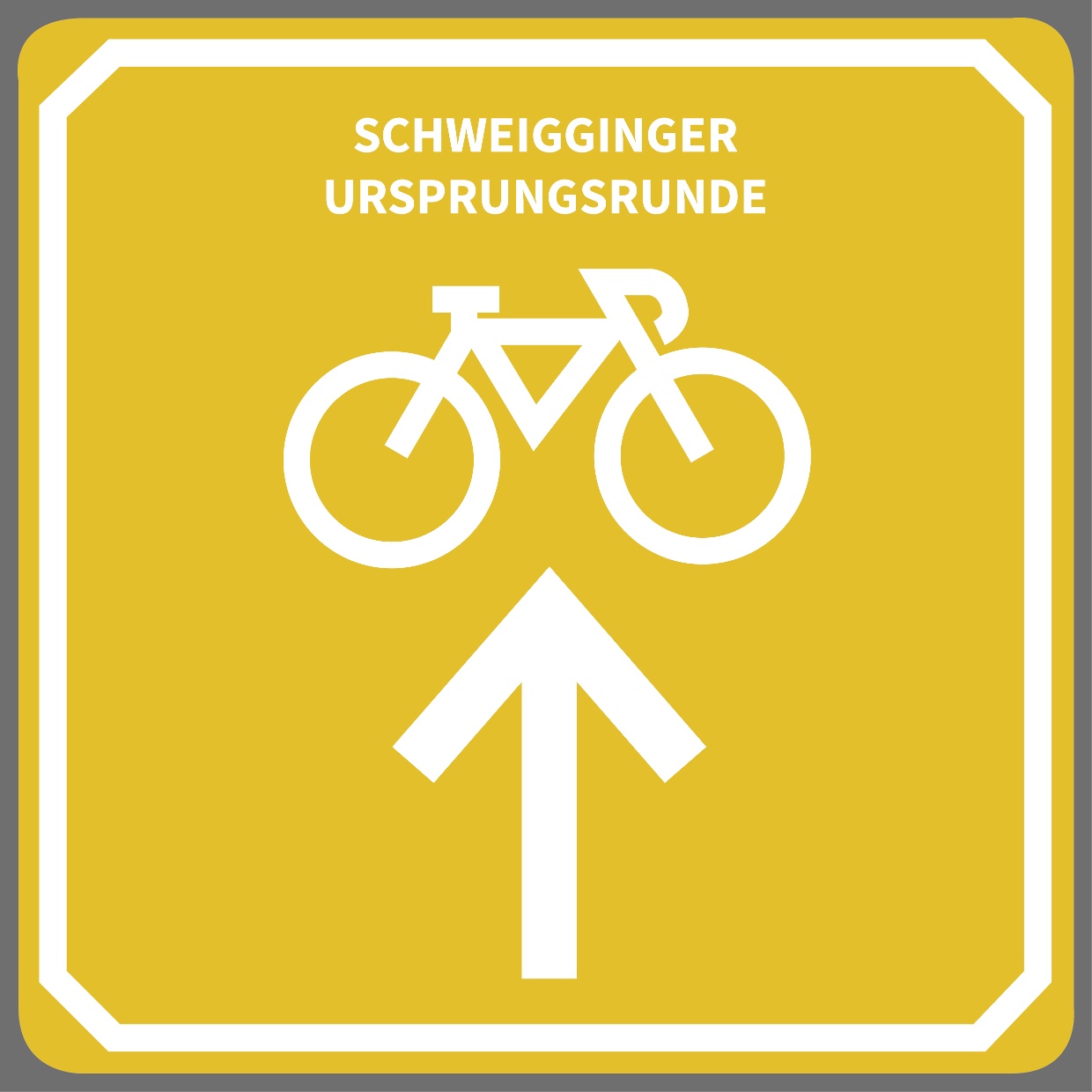
The origin route is marked in the direction of travel with yellow direction signs. The starting point with detailed information is located at the Infocenter in Schweiggers.
Public parking at the Infocenter
Find the best and fastest way to the starting point of the route using the route planner: https://www.google.at/maps
All information about all bus and train lines to the Waldviertel can be found at www.vor.at or at www.oebb.at.
Whether you want to get to know the market town Schweiggers and its sights better or take on a new sporting challenge – the "Schweigginger Origin Route" offers the right thing for you and leads you through the picturesque landscape of the Waldviertel.
Recommended period
J
F
M
A
M
J
J
A
S
O
N
D
Market town Schweiggers
3931 Schweiggers, Hauptplatz 25
(T) +43 (0)2829 8234
(E) gemeinde@schweiggers.gv.at
Waldviertel Tourism
3910 Zwettl, Sparkassenplatz 1/2/2
(T) +43 2822 54109
(E) info@waldviertel.at
(I) www.waldviertel.at
Letzte Änderung: 16 Mar 2026