
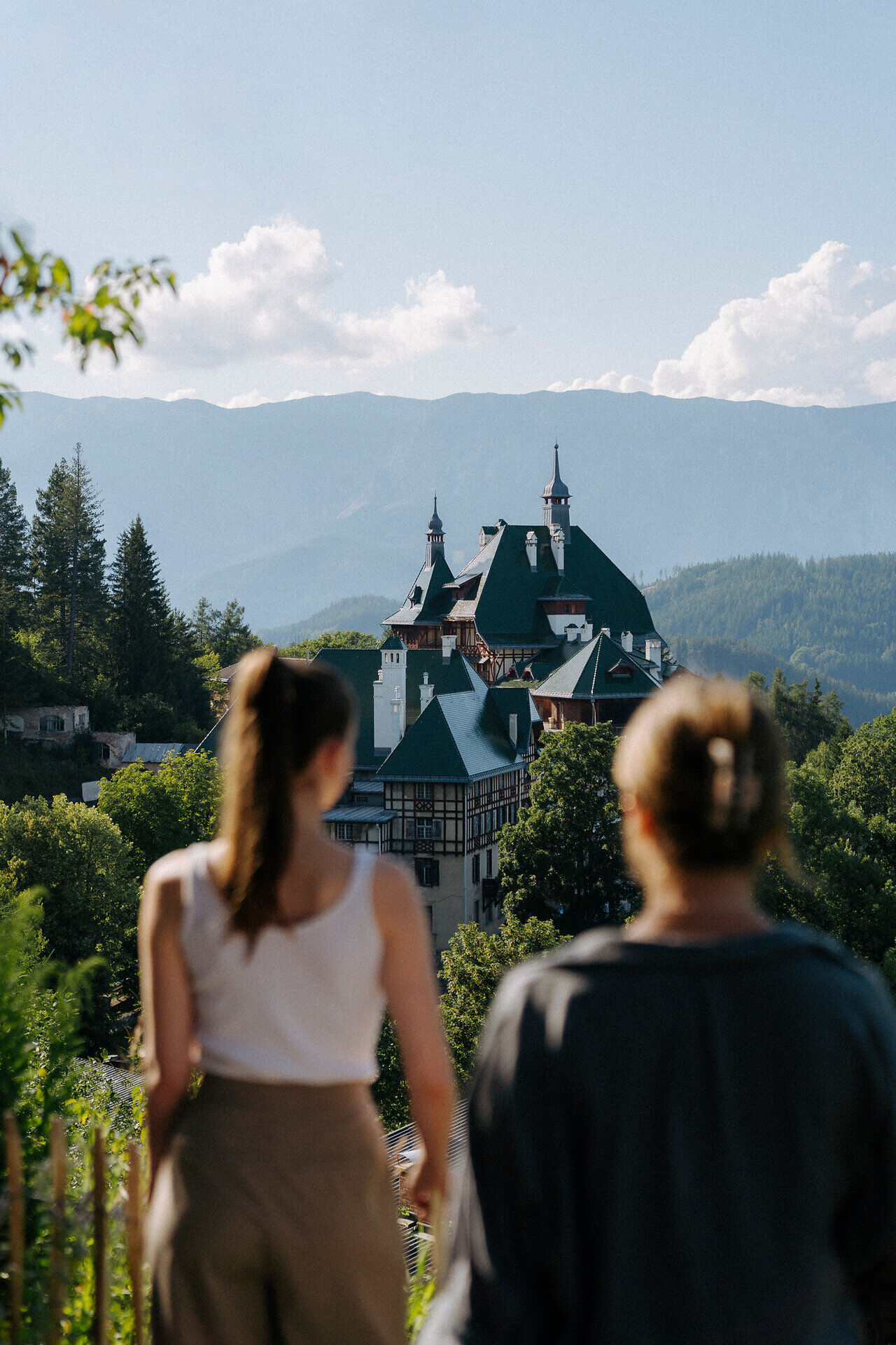
gpx_addressbase_17348
Semmering Rundwanderweg
Hiking tour Starting from
- Difficulty: Moderate
- Distance: 11,03 km
- Ascent: 349 m elevation gain
- Descent: 350 m elevation gain
Circular hike from the top of the pass over the Ochnerkamm to the Liechtensteinstraße and back over the high road to the top of the pass
- Difficulty: Moderate
- Distance: 11,03 km
- Ascent: 349 m elevation gain
- Descent: 350 m elevation gain
- Fitness level required:4/6
- Overall experience:3/6
- Scenery:2/6
- Lowest point984 m
- Highest point1334 m
- Round tour
- Accessibility by train and bus
Circular hike from the top of the pass over the Ochnerkamm to the Liechtensteinstraße and back over the high road to the top of the pass
Attention: Liechtensteinstraße from kilometer 1.5 (at the intersection with Hans-Dujsik-Straße) is currently closed due to construction work on the water pipe.
Recommended period
J
F
M
A
M
J
J
A
S
O
N
D