
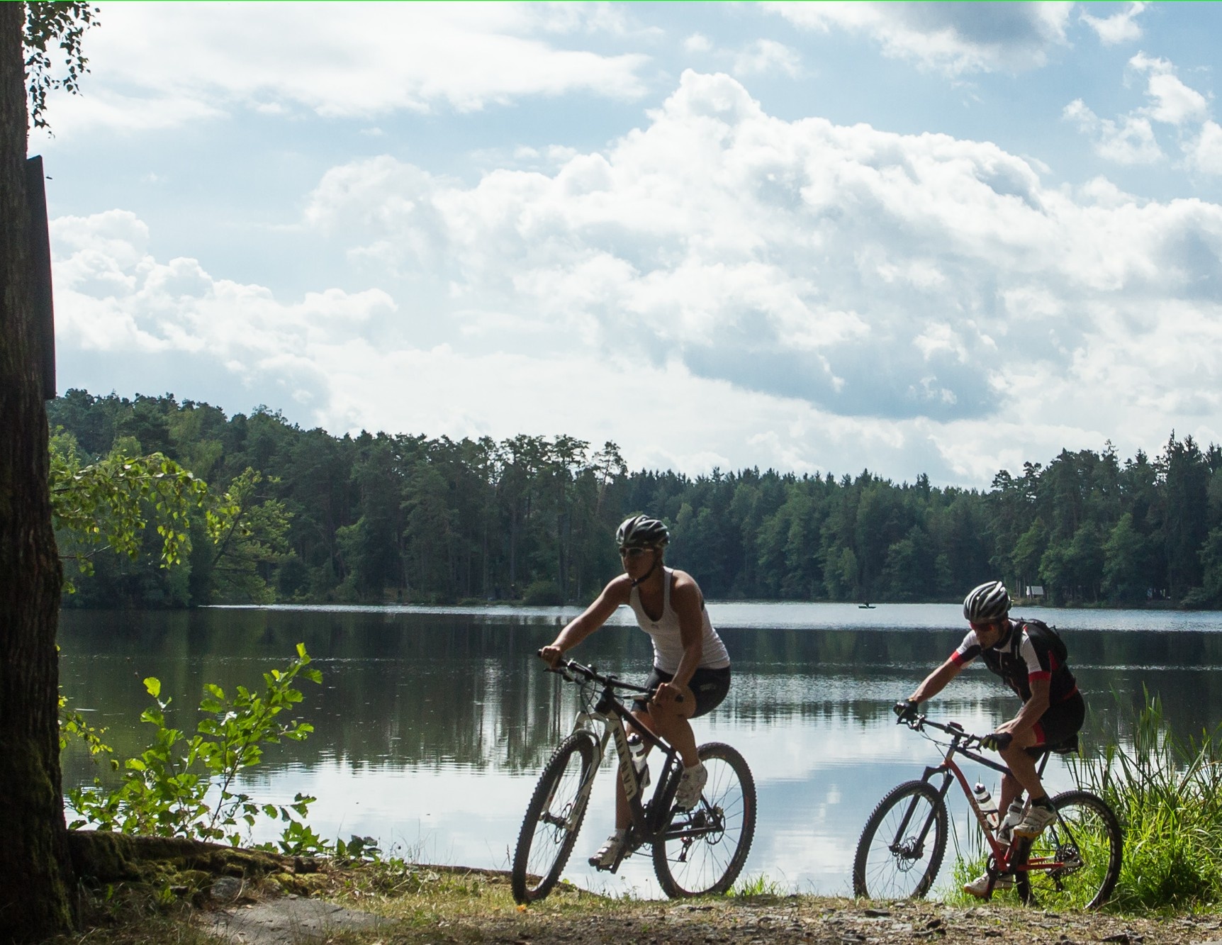
Teich-Strecke

Mountain bike tour Starting from

  • Difficulty: Easy
  • Distance: 14,01 km
  • Duration: 1:20 h
  • Ascent: 140 m elevation gain
  • Descent: 140 m elevation gain

Ottenschlag - Neuhof - Bernreith - Reith - Ottenschlag

  • Difficulty: Easy
  • Distance: 14,01 km
  • Duration: 1:20 h
  • Ascent: 140 m elevation gain
  • Descent: 140 m elevation gain
  • Fitness level required:2/6
  • Overall experience:2/6
  • Scenery:3/6
Lowest point
743 m
Highest point
853 m
  • Round tour
  • Suitable for families and children

Downloads

Ottenschlag - Neuhof - Bernreith - Reith - Ottenschlag

Recommended period

J
F
M
A
M
J
J
A
S
O
N
D