To the Blassenstein
Use our AI guide
Do you have any questions about your stay?

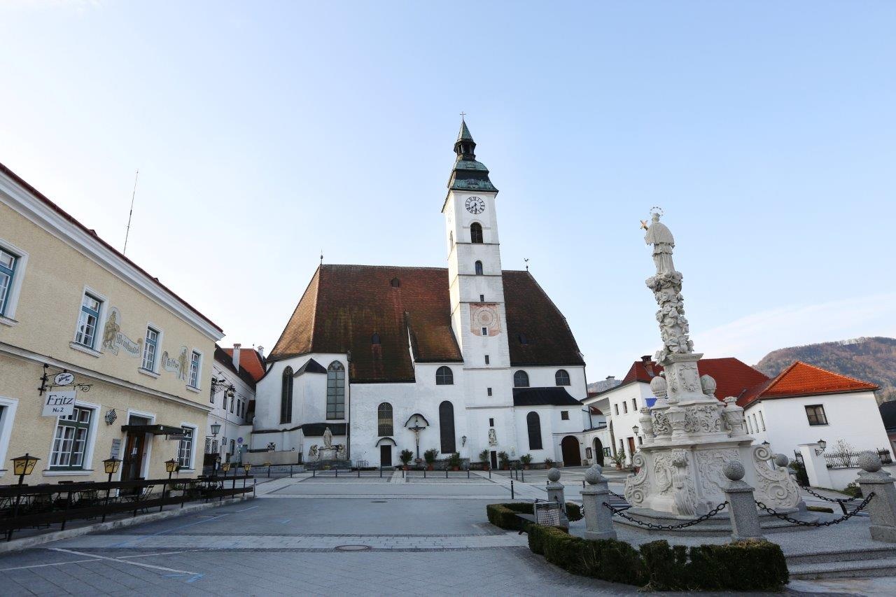
Hiking tour Starting from Scheibbs Town Hall Square
Several paths lead to the summit of the Blassenstein, the local mountain of Scheibbs. Probably the most scenic one is described here.
Several paths lead to the summit of the Blassenstein, the local mountain of Scheibbs. Probably the most scenic one is described here.
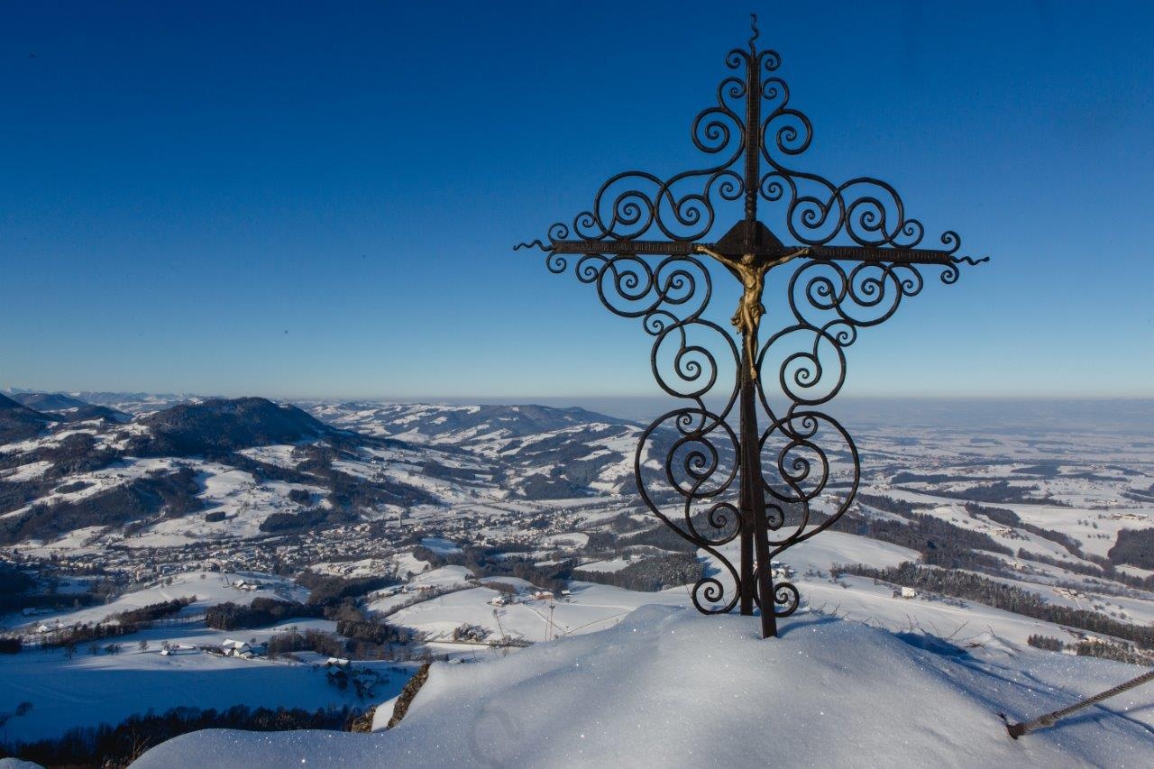
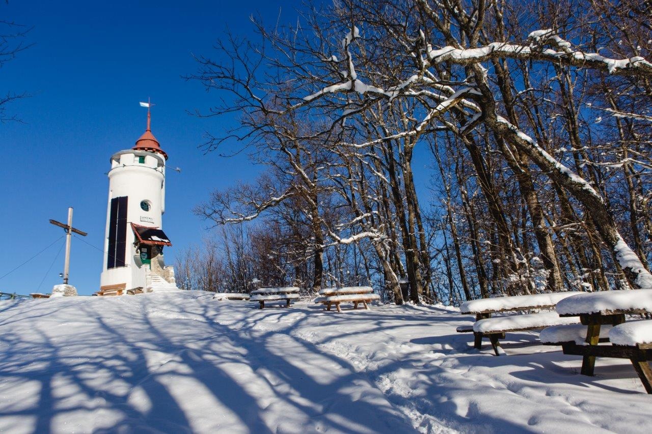
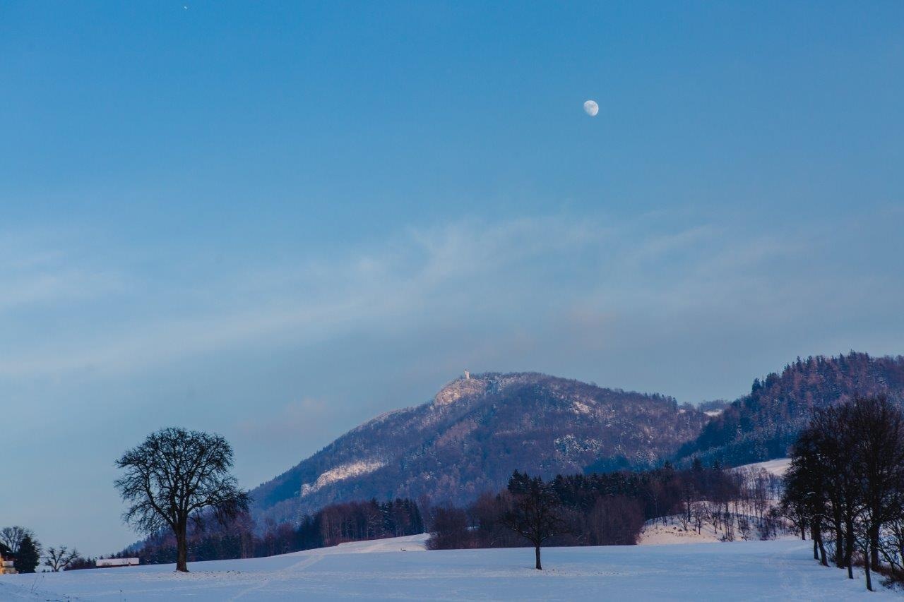
High above the town on the 844 m high Blassenstein, the local mountain of Scheibbs, the Urlingerwarte can be seen from afar and is a striking landmark of the district capital. Several paths lead to the summit of the Blassenstein, the most scenic of which is probably described here. Incidentally, the name Blassenstein does not derive from "blowing" in the sense of a windy place, but refers to the bare stone, the striking rocky outcrop as the prominent location of the Urlingerwarte.
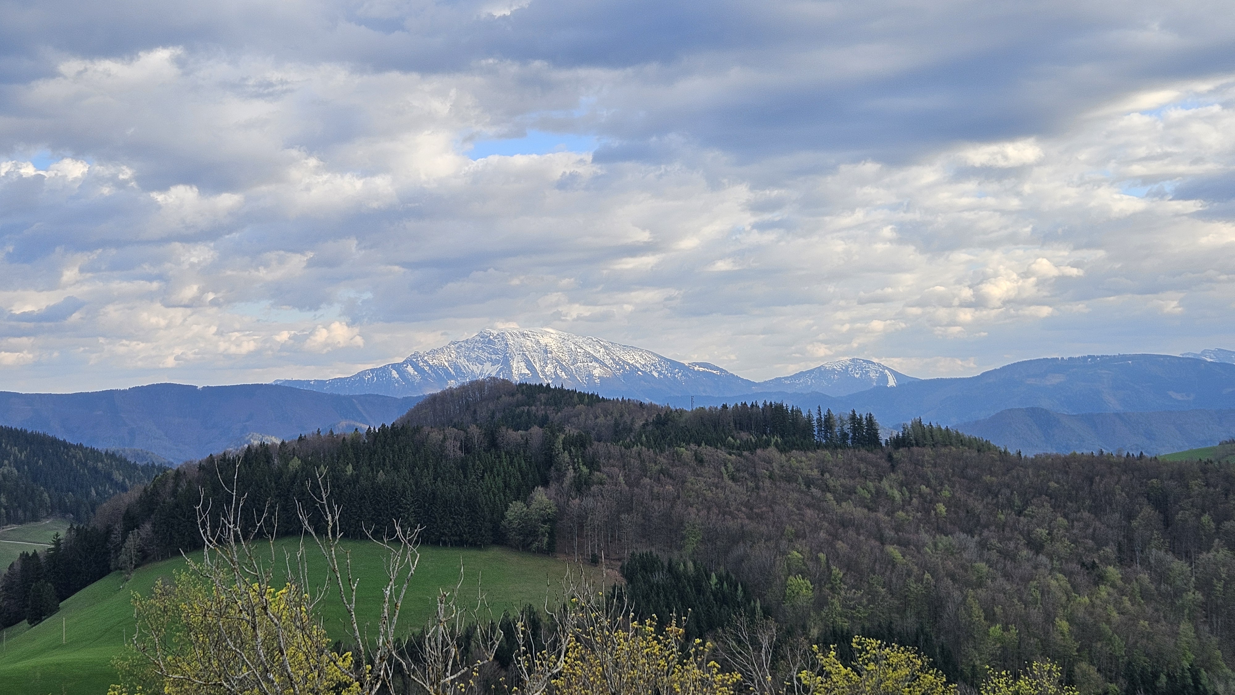
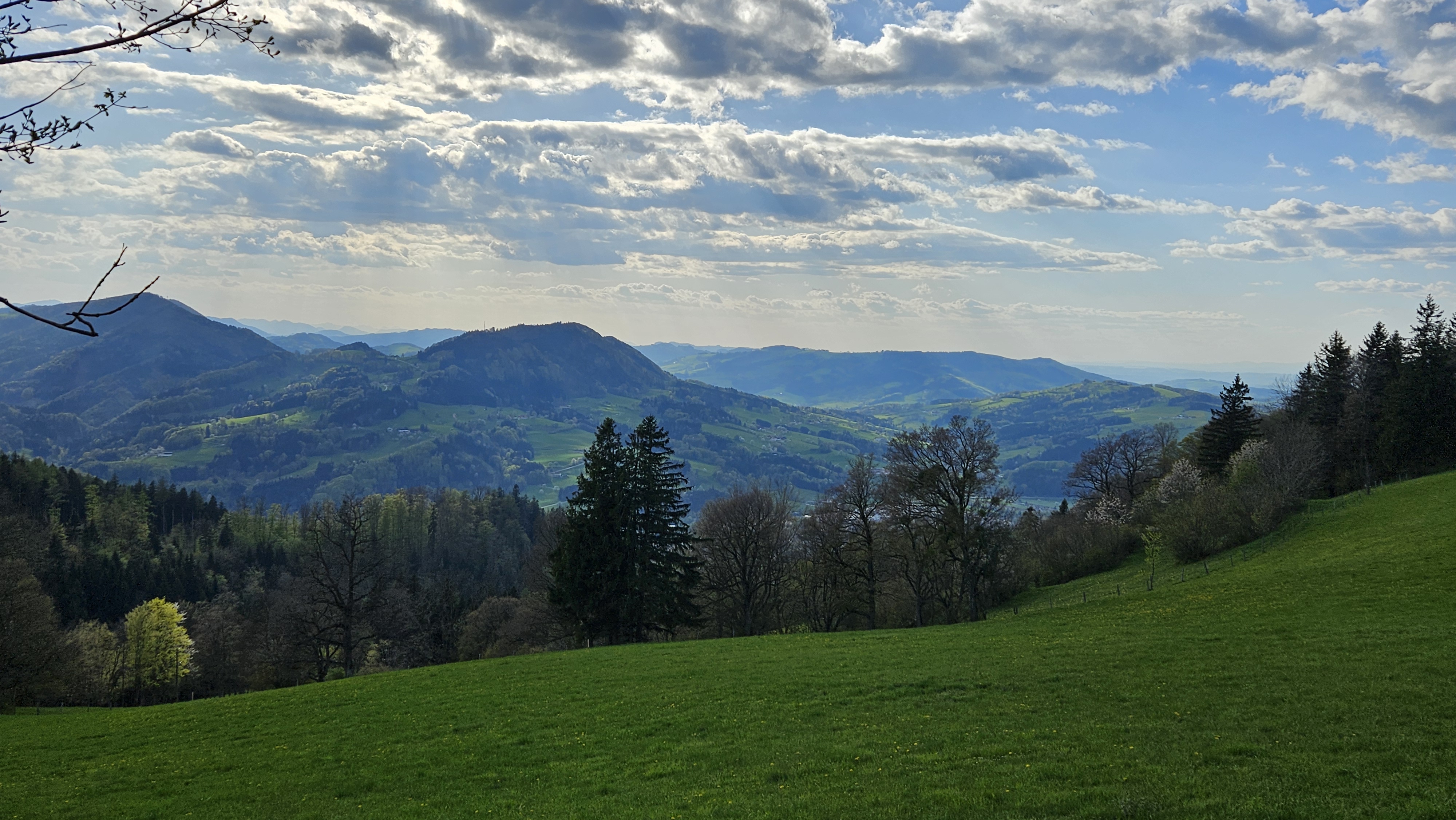
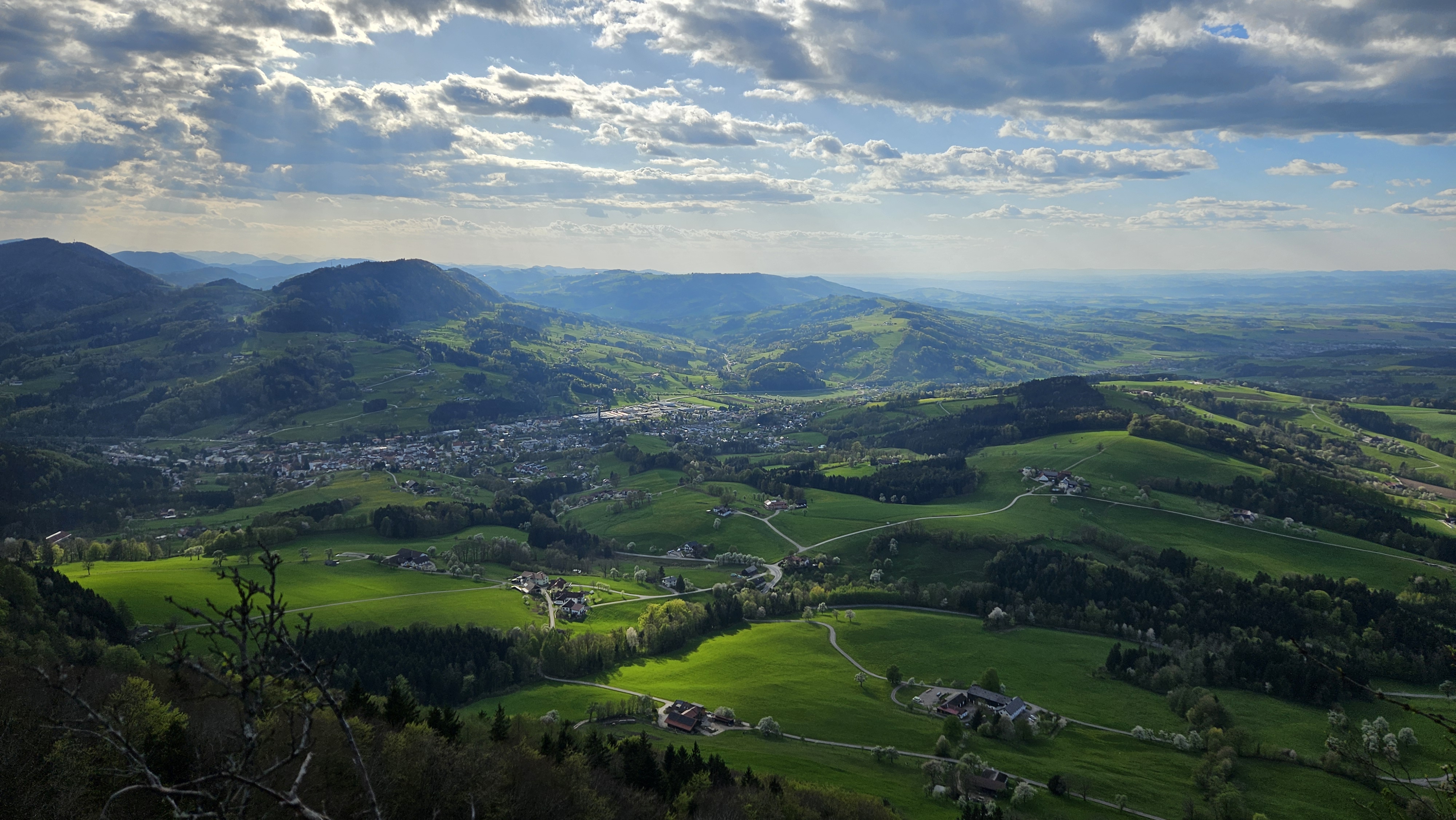
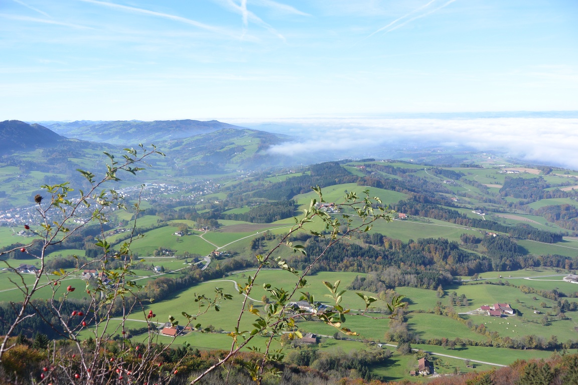
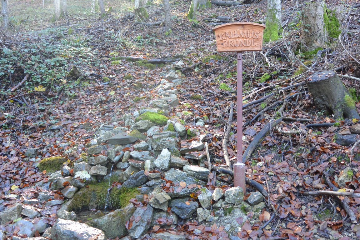
We leave the town hall square via Burgerhofstraße, from where we catch our first glimpse of our destination, the Urlingerwarte at the summit of the Blassenstein. We follow the steadily ascending road through a residential area and along the Schöllgrabenbach stream until the route, which now continues along Unterer Quellenweg, leads us past the Burgerhofteich pond and into the Reithgraben. Here we pass the Scheibbser Fitpfad, which invites us to get some exercise in the forest. The Quellenweg leads us back to a narrow road, which later turns off to the left as Staudenweg. After a good stretch, the road turns sharply to the right, after which our route branches off to the left towards Kalmusbründl. We follow the yellow signs to the parking lot at Blassenstein, from where a cart path, now outside the forest, leads up to Urlingerwarte. Once we reach our destination, we can enjoy the breathtaking view as far as the Danube lowlands and the Waldviertel on a clear day. Benches and rest areas invite us to take a well-deserved break. Well rested, we then descend again to the parking lot, from where our route leads first across a meadow, then through a beautiful wooded area via Pastlöd towards Ginningbauer. From here we follow paved roads again. Via the Blassensteinweg we hike down into Scheibbs settlement area. Our route continues along Berggasse to the Gürtel and along the former town wall back to the town hall square.
Attention, there is danger of falling near the Urlingerwarte due to the rock outcrop. Please do not let your children play there unattended.
Sturdy footwear is recommended.
Starting from the Rathausplatz, via Burgerhofstraße, into the Schöllgraben. Here the Lower Spring Path branches off to the left from the road and then continues into the Reithgraben, past the fitness trail and Burgerhof pond. The path splits uphill into the continuing Upper Spring Path - an alternative route to our route - and into the Staudenweg branching off to the left, which we follow past the Kalmus spring to the parking lot in front of the Blassenstein summit. From there, a final ascent follows to the destination at the Urlingerwarte. The return takes the same path to the junction after the Kalmus spring, where it does not go left again via Staudenweg but right via Pastelöd to the farm of the Ginningbauer and further via Blassensteinweg and Berggasse through a residential area back to the Rathausplatz.
Please observe the parking guidance system at the entrances to the town of Scheibbs.
Short-term parking zone from Monday to Saturday noon in the city center - parking duration 2 hours.
From the north via A1, highway exit Ybbs/Kemmelbach, then B25 to Scheibbs.
From the southeast via B28
From the south via B2
By ÖBB Erlauftalbahn to the final stop in Scheibbs.
By post bus or Mostviertel line.
A trip to the Urlingerwarte is also highly recommended in fog. While the district capital often cloaks itself in dull gray in autumn, one overlooks a white sea of fog from the summit of Blassenstein.