

gpx_addressbase_17232
WAB - Regional Route S Part 2: Würflach - Hohe Wand - Grünbacher Sattel
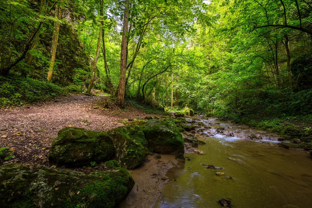
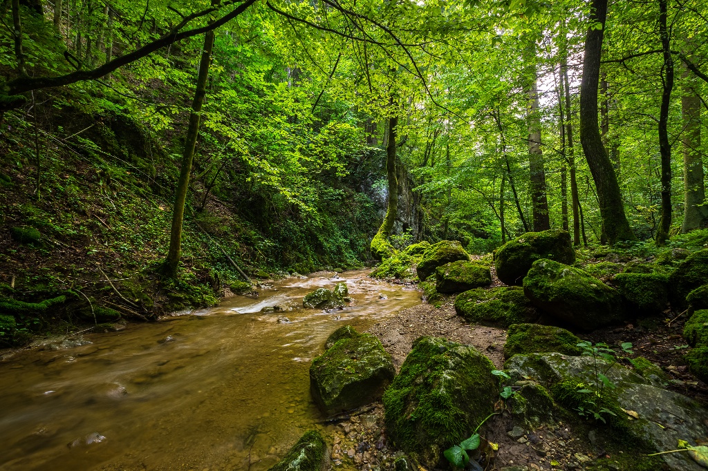
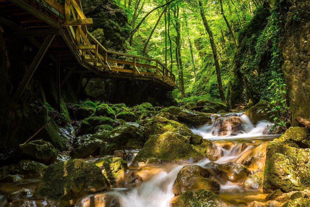
Hiking tour Starting from Parking lot Wellness World Würflach and entrance Johannesbach Gorge
©©Wiener Alpen, Foto: Franz Zwickl ©©Bwag_Commons, CC-BY 4.0 ©Wiener Alpen in Niederösterreich ©Wiener Alpen in Niederösterreich ©Wiener Alpen in Niederösterreich ©Wiener Alpen in Niederösterreich ©Wiener Alpen in Niederösterreich ©Wiener Alpen in Niederösterreich ©Wiener Alpen in Niederösterreich ©Wiener Alpen in Niederösterreich ©Wiener Alpen in Niederösterreich ©Wiener Alpen in Niederösterreich ©Wiener Alpen in Niederösterreich ©Wiener Alpen in Niederösterreich ©Wiener Alpen in Niederösterreich ©Wiener Alpen in Niederösterreich ©Wiener Alpen in Niederösterreich ©Wiener Alpen in Niederösterreich ©Wiener Alpen in Niederösterreich ©Wiener Alpen in Niederösterreich ©Wiener Alpen in Niederösterreich ©Wiener Alpen in Niederösterreich ©Wiener Alpen in Niederösterreich ©Wiener Alpen in Niederösterreich ©Wiener Alpen in Niederösterreich ©Wiener Alpen in Niederösterreich ©Wiener Alpen in Niederösterreich
- Difficulty: Difficult
- Distance: 18,93 km
- Duration: 7:30 h
- Ascent: 1233 m elevation gain
- Descent: 1014 m elevation gain
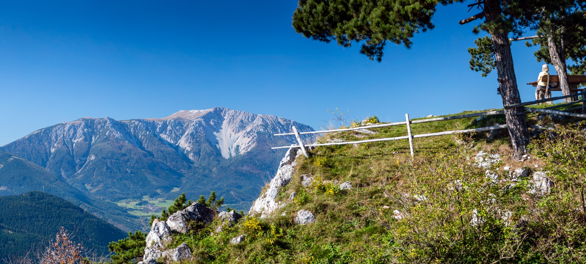
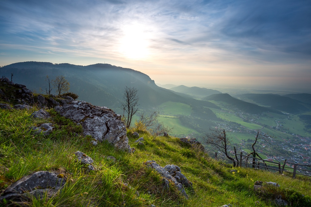
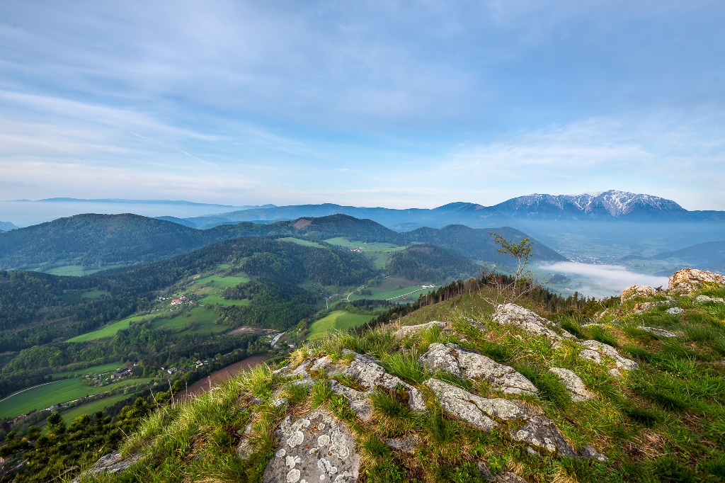
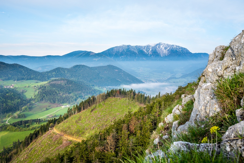
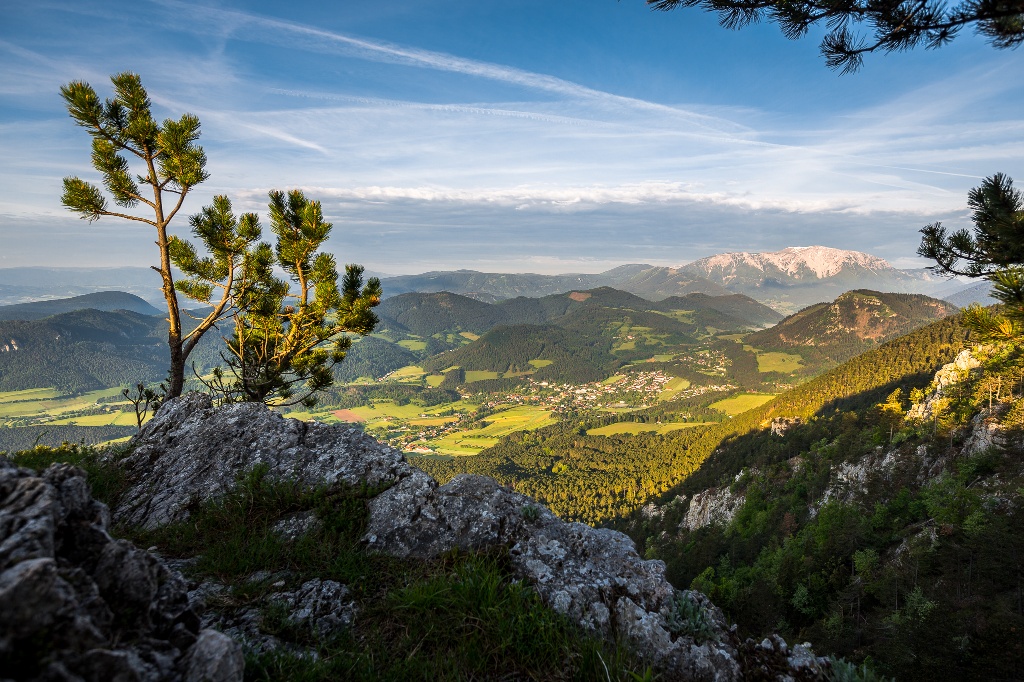
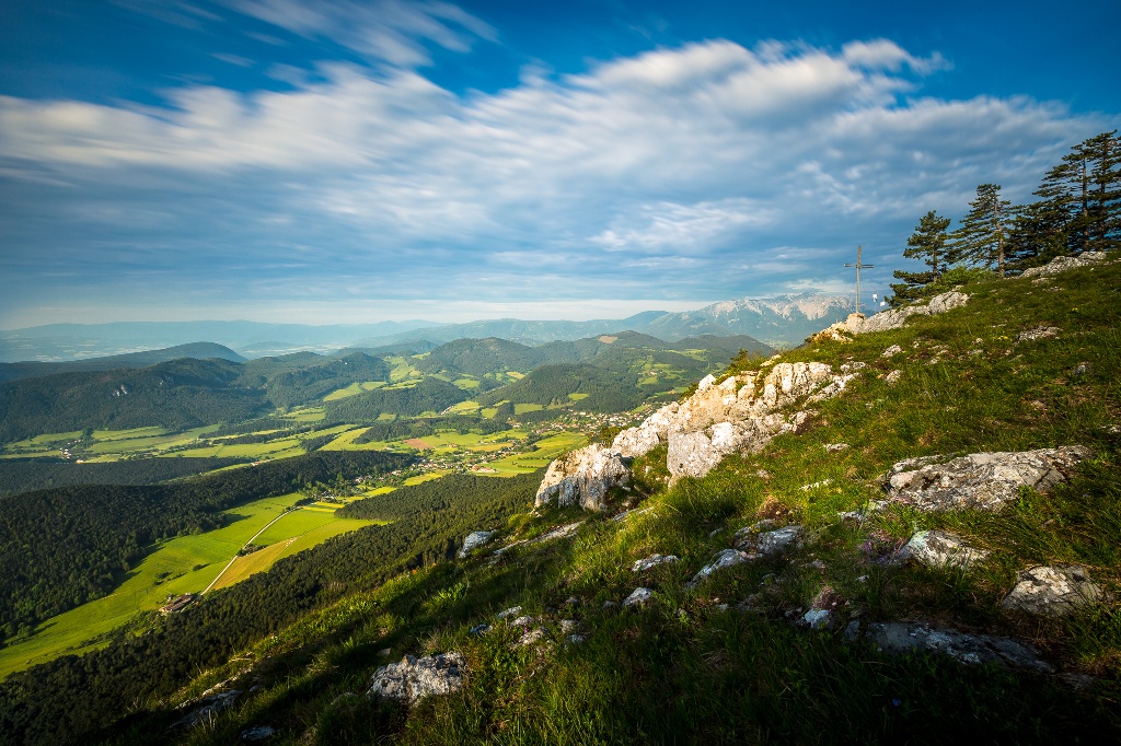
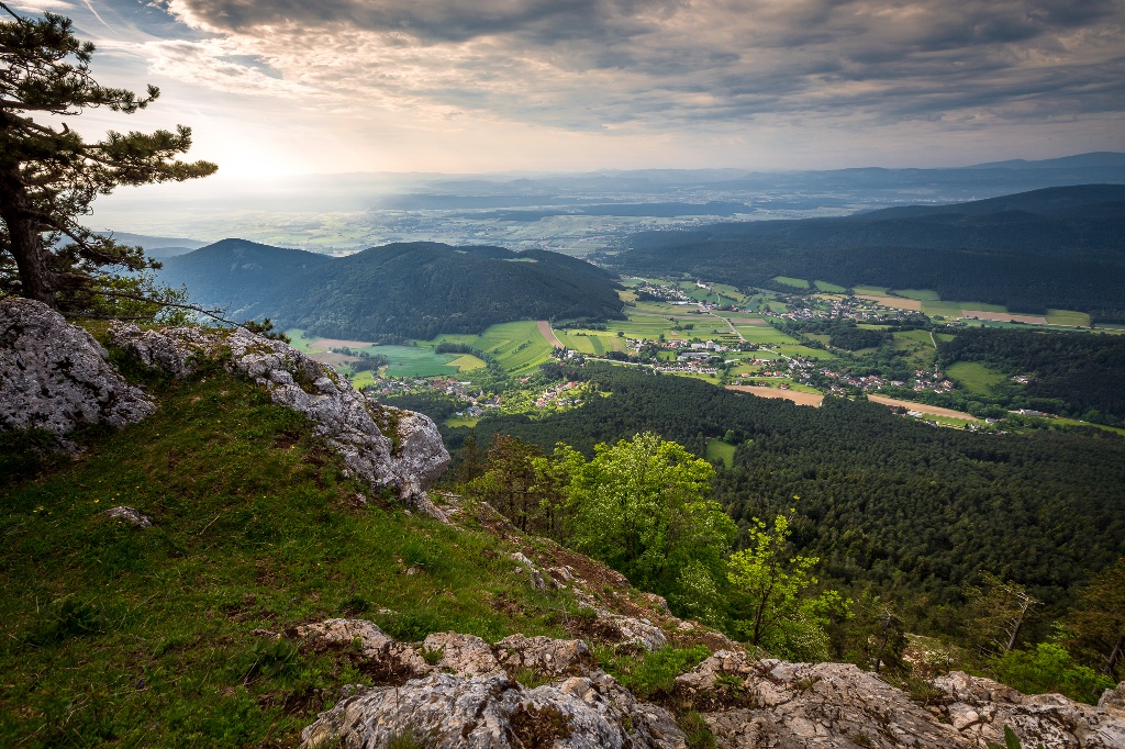
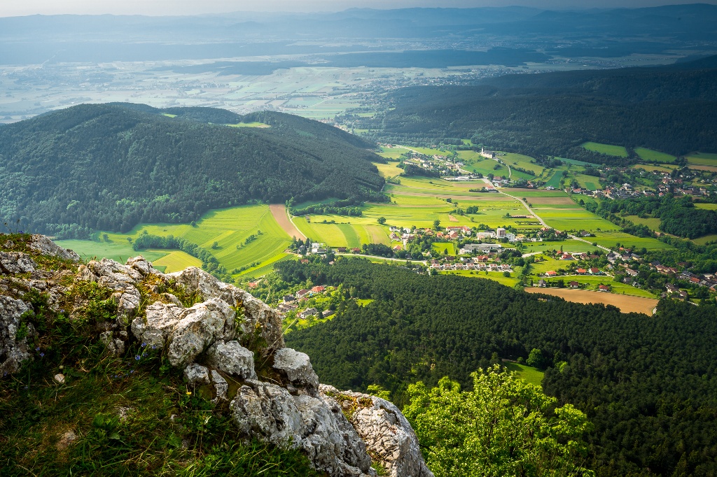
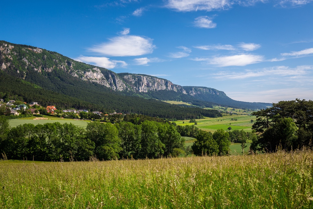
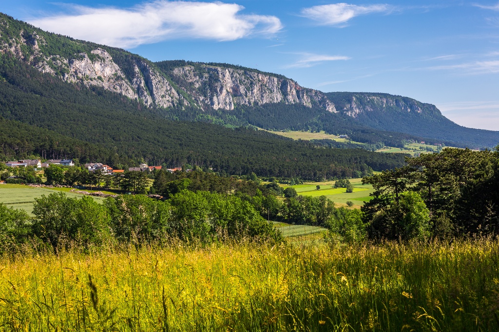
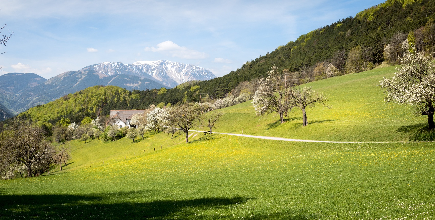
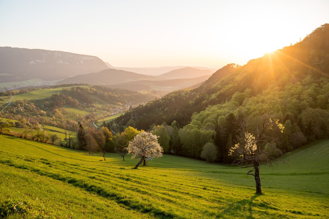
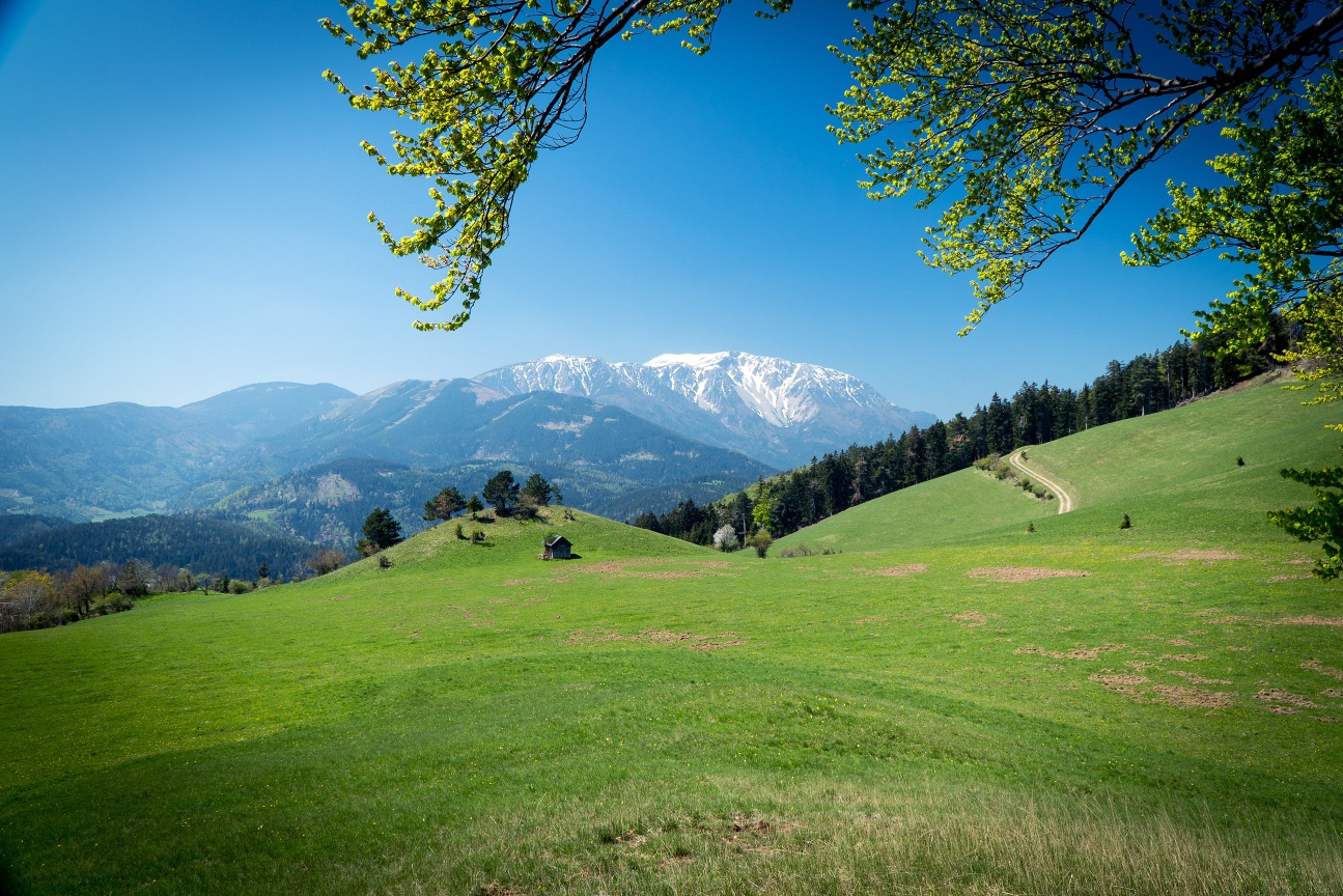
The second part of the Regional Route S leads over the Hohe Wand back to Grünbacher Sattel. The Regional Routes are part of the trail network of the Vienna Alpine Arc (WAB). Hikes along these routes offer you unique views and insights. The Regional Routes are connected to the Vienna Alpine Arc trail, creating circular hikes in combination with the long-distance trail.
- Starting point of the tour
- Parking lot Wellness World Würflach and entrance Johannesbach Gorge
- Tour destination
- Grünbacher Sattel
- Difficulty: Difficult
- Distance: 18,93 km
- Duration: 7:30 h
- Ascent: 1233 m elevation gain
- Descent: 1014 m elevation gain
- Fitness level required:5/6
- Overall experience:5/6
- Scenery:4/6
- Lowest point349 m
- Highest point1124 m
- Nice views
- With refreshment stops
The second part of the Regional Route S leads over the Hohe Wand back to Grünbacher Sattel. The Regional Routes are part of the trail network of the Vienna Alpine Arc (WAB). Hikes along these routes offer you unique views and insights. The Regional Routes are connected to the Vienna Alpine Arc trail, creating circular hikes in combination with the long-distance trail.
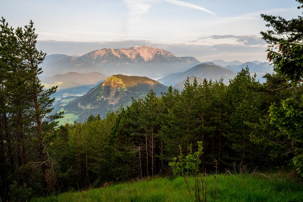
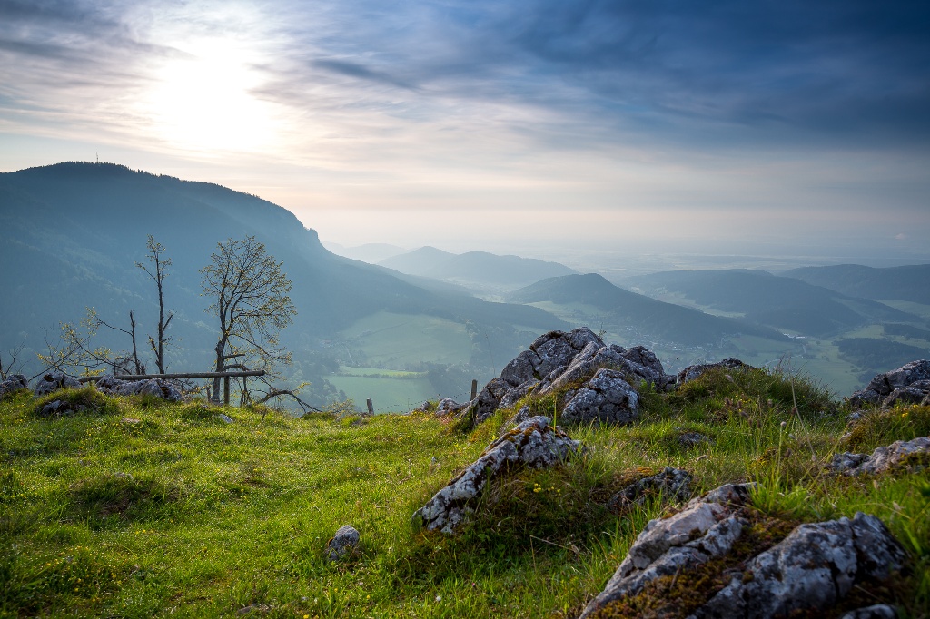
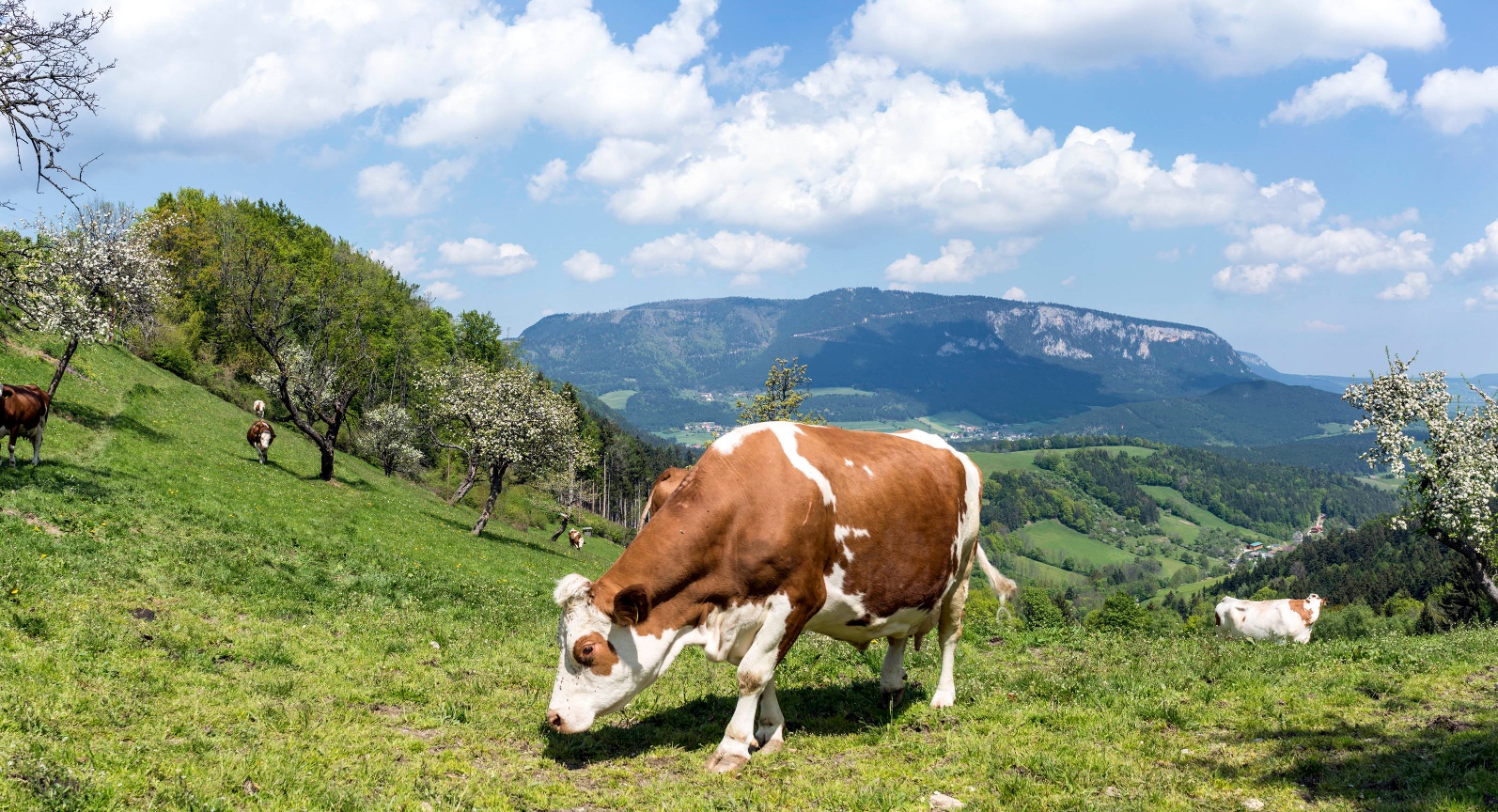
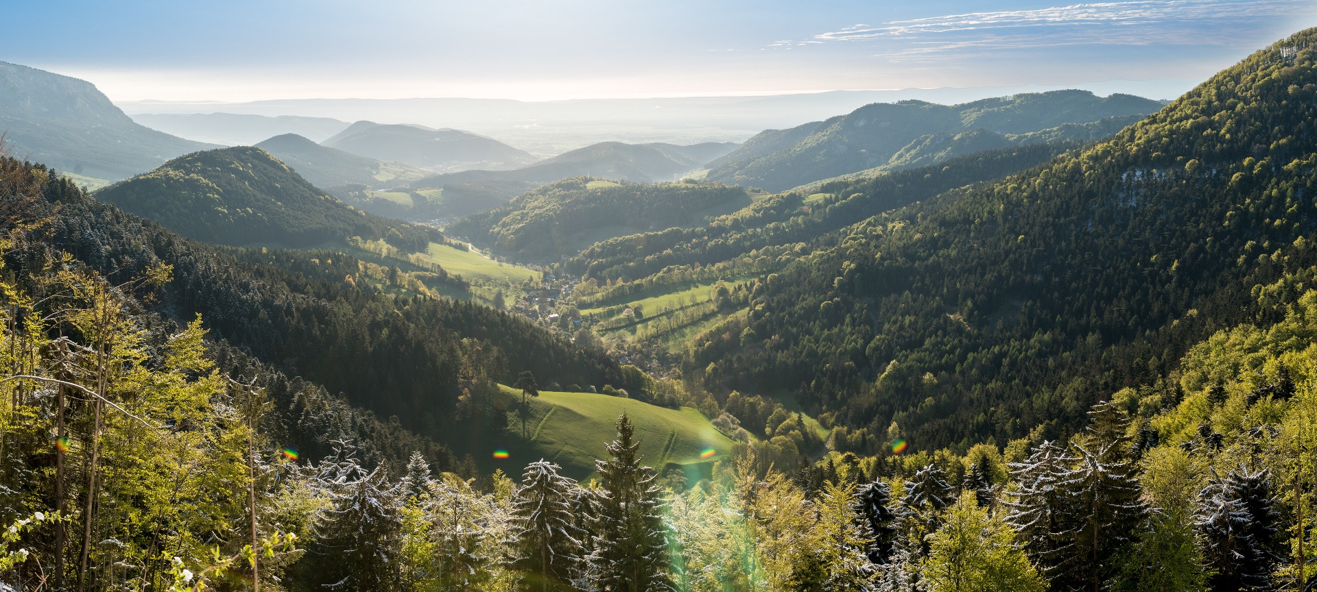
Starting from Neue Welt, this tour crosses the western plateau of the Hohe Wand. The region here is a true paradise of views: first, you walk off leisurely — with Hohe Wand constantly in focus — until you finally climb it via an easy via ferrata and are rewarded with magnificent panoramic views over the just-hiked area and almost the entire Vienna Alpine Arc. The family and excursion paradise of the Hohe Wand Nature Park also shows its quiet and secluded side here.
Safe on the mountain
Your hikes in the Vienna Alps should be a thoroughly enjoyable and safe experience. Please observe the following:
Preparation
Make sure the chosen route matches your mountain experience and fitness. Check the weather report in advance. Weather can change quickly in the mountains. Always start suitably equipped (e.g., rain protection).
Check if the huts and snack stations you want to visit are open. Inform someone about your route choice and planned return time before starting.
Always take suitable maps with you. Wear sturdy shoes adapted to the route, bring sun and rain protection, as well as water and a small snack. Take your mobile phone and save the mountain rescue emergency number: 140
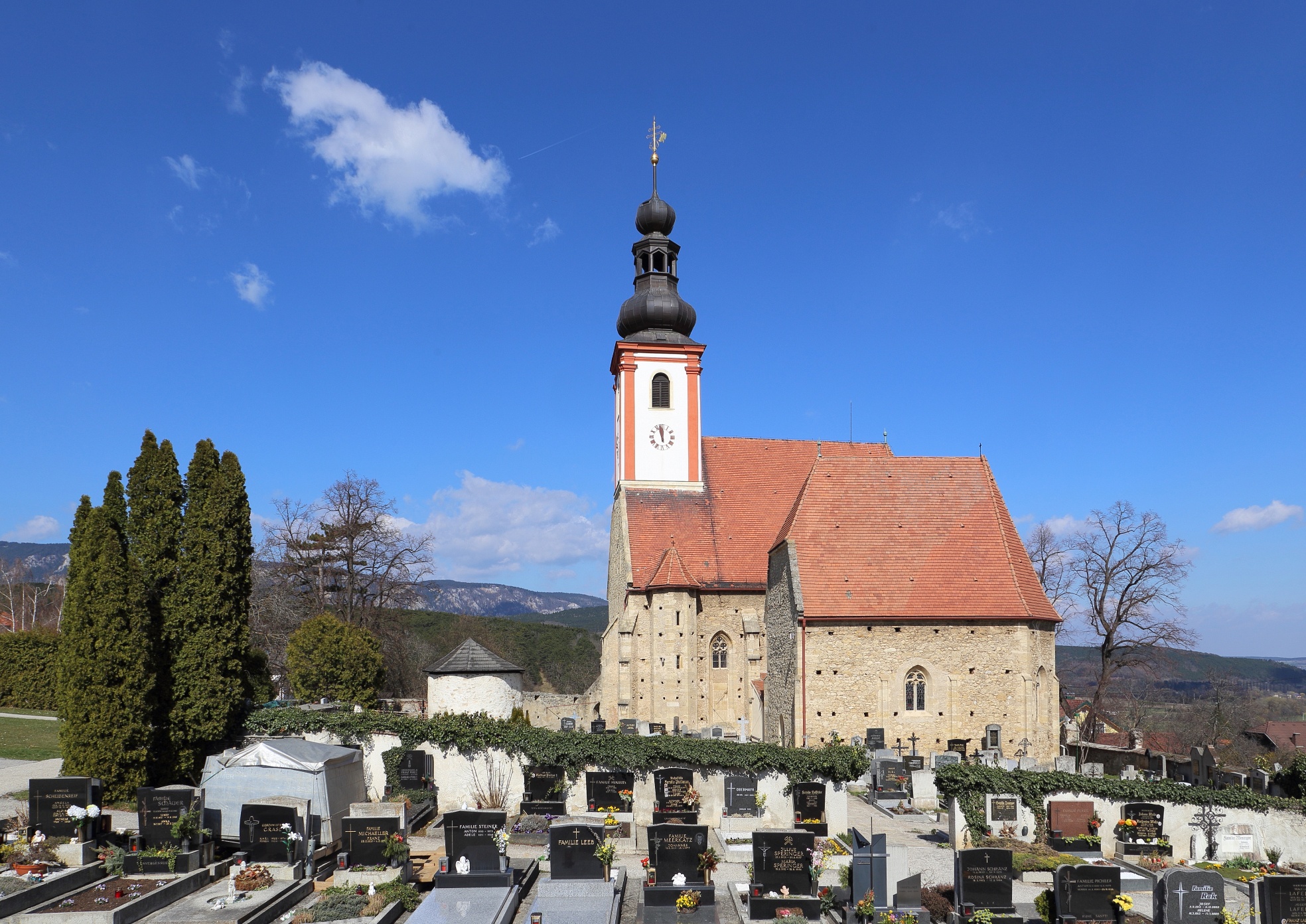
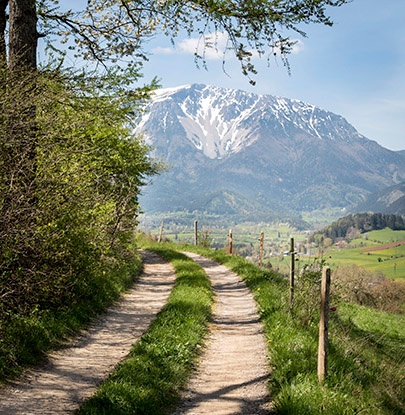
The continuation of the Regional Route S starts at the parking lot of the Wellness World in Würflach. We do not take the wooden path down to the parish church, but instead turn north at the parking lot onto a hiking trail to the Johannesbach Gorge. Upon reaching the Johannesbach, we turn right onto Klammgasse and follow it to the main road. At the main road, we turn left towards Willendorf and after 10 minutes, we leave it half-right towards Dörfles. Continuing on the field path, again briefly alongside the Johannesbach, we cross the federal road and follow the field path straight to its end. We follow the route left along the Frauenbach and shortly thereafter turn right onto Birkenallee. We now follow this to Urschendorfer Straße, turn left there, and continue through Dörfles towards Netting. The road leads to a star intersection; straight ahead the main road continues to Netting, and we go half-left on Kienbergweg slightly uphill (marked in red).
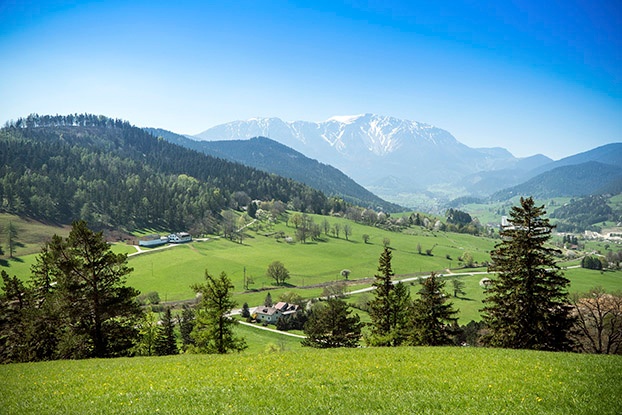
We keep right towards Kienberg and follow the solitary hiking trail through dense mixed forest and light pine woods. At 650 meters, we reach the summit of Kienberg, from where we can enjoy views of the Hohe Wand and Schneeberg. Then it goes downhill again; the rocky Irmasteig leads us down to the trail junction at Kienbergwiese. Here we turn right and follow the hiking trail downhill towards Zweiersdorf. Near the edge of the forest, turn briefly right and immediately left again onto the plain of Neue Welt. We cross the Zweiersdorfer Bach and walk along the gravel road to the outskirts of Zweiersdorf. Follow the main road and the cart path uphill at the right edge of the meadow. At the top of the meadow, turn left and follow the forest path towards Hubertushaus/Springles. Red markings lead us to the start of the Springlessteig, which we now follow uphill to Hubertushaus; some sections are secured, and one ladder must be climbed. Caution is especially advised when wet. If unsure or with small children, the Springlessteig should be managed with a via ferrata set. Upon reaching Hubertushaus, we turn left and follow the well-signposted and marked hiking trail (red marked) slightly uphill to Wilhelm-Eichert-Hütte. After a short rest, we continue on the red-marked hiking trail, hike past the gravel road by Waldfreundehütte, and reach the highest but inconspicuous point of the Hohe Wand within a few minutes. We pass the former mountain house Plackles and now descend on hiking and forest paths towards Rastkreuz and the terrain. At the same time, we can learn what the Big Bang has to do with Grünbach. We continue on the hiking trail towards Geländehütte, initially relatively easy and scenic paths, later rocky and steeper sections. The closer we get to Geländehütte, the more panoramas unfold before us. While just below Geländehütte a bear fights a prehistoric man, we pass to the right of the hut and continue hiking towards Grünbacher Sattel. We ignore the first turnoff to Grünbach (marked in blue), a few meters later we turn left onto the red-marked Krumböcksteig. We hike down steep paths and reach Grünbacher Sattel after half an hour. Here the circle of the Regional Route S closes.
From here, there is the possibility to continue hiking on Regional Route R to Puchberg/Schneeberg, to take the bus from Grünbacher Sattel towards Puchberg or Grünbach, or to walk to the Grünbach Kohlenwerk train station.
Parking available at the Wellness World Würflach.
Coming from Vienna or Graz on the A2, switch to B26 towards Puchberg am Schneeberg at the Wiener Neustadt-West exit. In Willendorf, turn left onto the road to Würflach, then before the church in Würflach turn right to Wellness World Würflach.
Travel to the Neunkirchen Lower Austria train station and from there take the bus to Würflach.
More information can be found at www.oebb.at
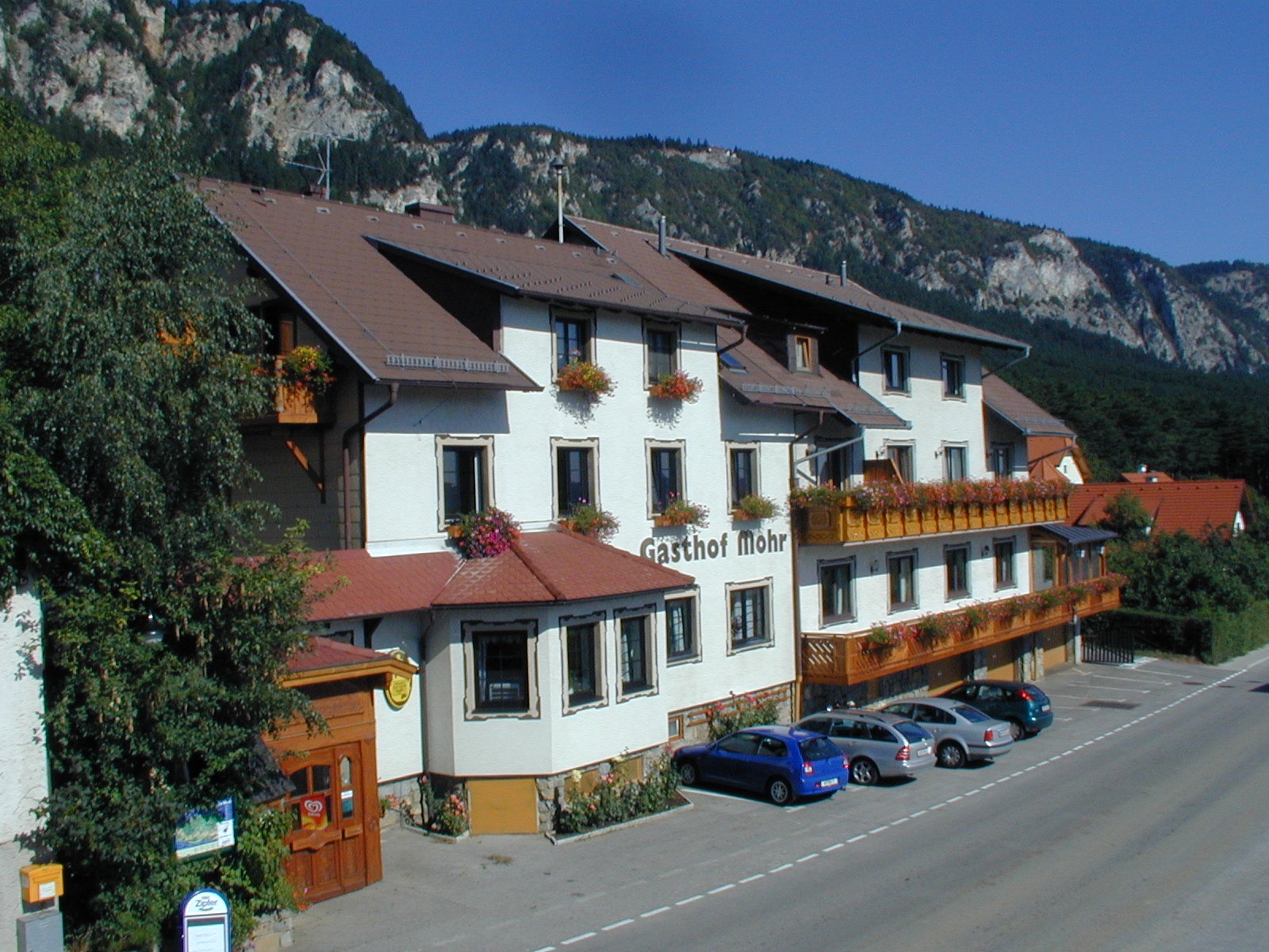
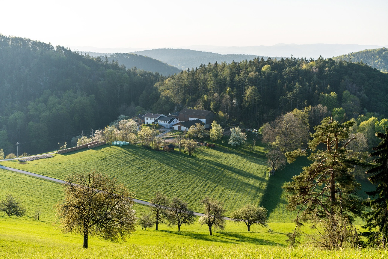
On this Regional Route, food and accommodation are offered by the Spanferkelwirt Gasthof Mohr, the Hubertushaus, and the Wilhelm-Eicherthütte.
Recommended period
J
F
M
A
M
J
J
A
S
O
N
D
Also explore the connecting routes:
WAB - Regional Route S: Grünbacher Sattel - Gutenmann - Würflach
WAB - Regional Route T: Muggendorf - Rohr im Gebirge
Vienna Alps in Lower Austria, www.wieneralpen.at, +43 / 2622 / 78960
Letzte Änderung: 16 Mar 2026