
gpx_addressbase_17967
Waldhausen circular hiking trail
Hiking tour Starting from Waldhausen sports field
- Difficulty: Moderate
- Distance: 18,38 km
- Duration: 5:00 h
- Ascent: 344 m elevation gain
- Descent: 344 m elevation gain
Waymarking no. 70 Waldhausen - Rappoltschlag - Königsbach - Obernondorf - Niedernondorf - Wiesenreith - Loschberg - Hirschenschlag - Waldhausen
- Starting point of the tour
- Waldhausen sports field
- Tour destination
- Waldhausen sports field
- Difficulty: Moderate
- Distance: 18,38 km
- Duration: 5:00 h
- Ascent: 344 m elevation gain
- Descent: 344 m elevation gain
- Fitness level required:3/6
- Overall experience:5/6
- Scenery:5/6
- Lowest point578 m
- Highest point755 m
- Round tour
- With refreshment stops
Waymarking no. 70 Waldhausen - Rappoltschlag - Königsbach - Obernondorf - Niedernondorf - Wiesenreith - Loschberg - Hirschenschlag - Waldhausen
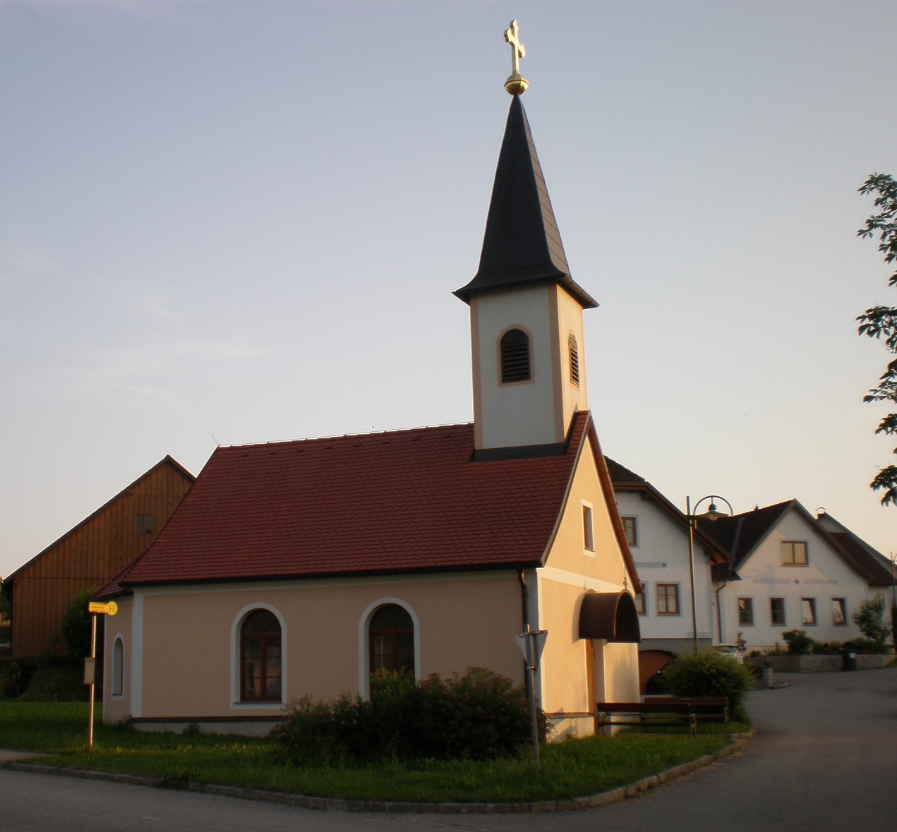
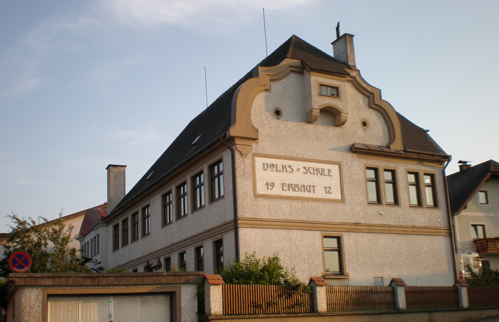
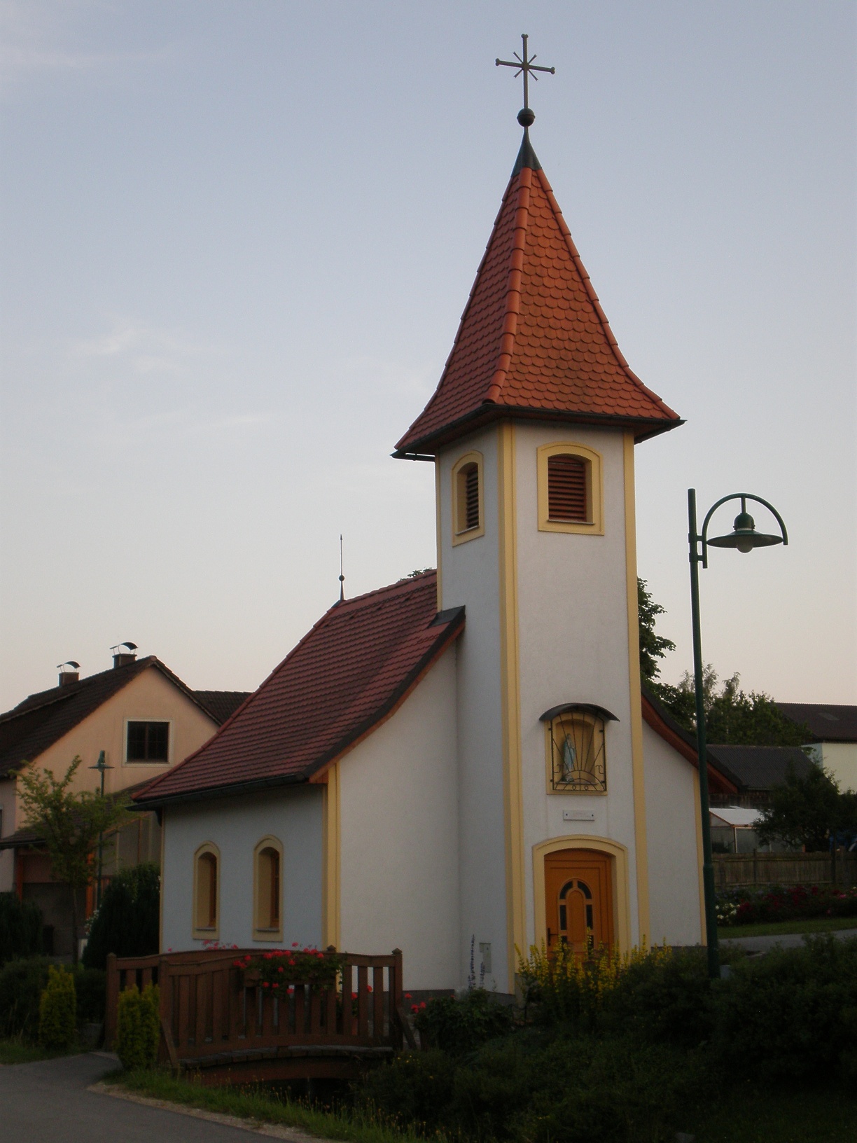
The Waldhausen circular hiking trail leads right through the market town of Waldhausen - along the deeply incised Purzelkamp, over the almost 800-metre-high Loschberg and through the small villages, which are home to cultural and botanical sights.
Make sure when choosing your route that it matches your fitness level. Check if the dining establishments you want to visit along the way are open. Pack your charged mobile phone and maps in your backpack. For cross-border routes, always carry a passport or ID card.
Sturdy footwear, functional clothing, sun and rain protection, maps, if necessary telescopic poles, first aid kit (blister plasters), sufficient provisions (snacks, muesli bars, fruit, water).
From the Waldhausen sports field, the path leads past the natural monument Hölleiten, over the Purzelkamp and gently ascending to the village of Rappoltschlag. Then it goes slightly downhill again over a footbridge across the Purzelkamp (where there are still freshwater pearl mussels) to Königsbach. You continue hiking over well-maintained, flat harvest paths to Obernondorf. From there, downhill through a forest area to the village of Niedernondorf, past the castle and the parish church. In Niedernondorf, the path turns right and climbs steeply for a short distance through the Klausen towards Wiesenreith. There you encounter the Ökomeile Wiesenreith, another hiking trail in the municipality of Waldhausen. After a strong ascent through the forest, you reach the highest point of the municipality, the Loschberg. From the Loschberg, the path steadily descends to the Höppelmühle and along the Purzelkamp through the village of Hirschenschlag back to the starting point in Waldhausen.
at the sports field
From Vienna via A 22 and S 5 or A1 and S 33 to Krems, then continuing on B 37 towards Zwettl. Turn off before Zwettl (near Rudmanns) towards Waldhausen.
From Linz via the A7 to Unterweitersdorf - then on the S10 to the Sandl exit - via B38 to Zwettl. In Zwettl, drive towards Krems on the B37 and turn right towards Waldhausen near Rudmanns.
All information about all bus and train lines to the Waldviertel region can be found at www.vor.at or www.oebb.at.
Excellent meals at the Gasthaus Wagner in Obernondorf
Recommended period
J
F
M
A
M
J
J
A
S
O
N
D
Municipality of Waldhausen
3914 Waldhausen 4
(T) +43 2877 71 55
(E) gemeinde.waldhausen@wvnet.at
Waldviertel Tourism
3910 Zwettl, Sparkassenplatz 1/2/2
(T) +43 2822/54109
(E) info@waldviertel.at
(I) www.waldviertel.at
Letzte Änderung: 20 May 2026