Ybbsfeldweg, Blindenmarkt
Use our AI guide
Do you have any questions about your stay?

Hiking tour Starting from Raiffeisen Bank Blindenmarkt
Circular hiking trail via the Auseen lakes to the Günzinger Au to Truckenstetten and Freidegg
Circular hiking trail via the Auseen lakes to the Günzinger Au to Truckenstetten and Freidegg
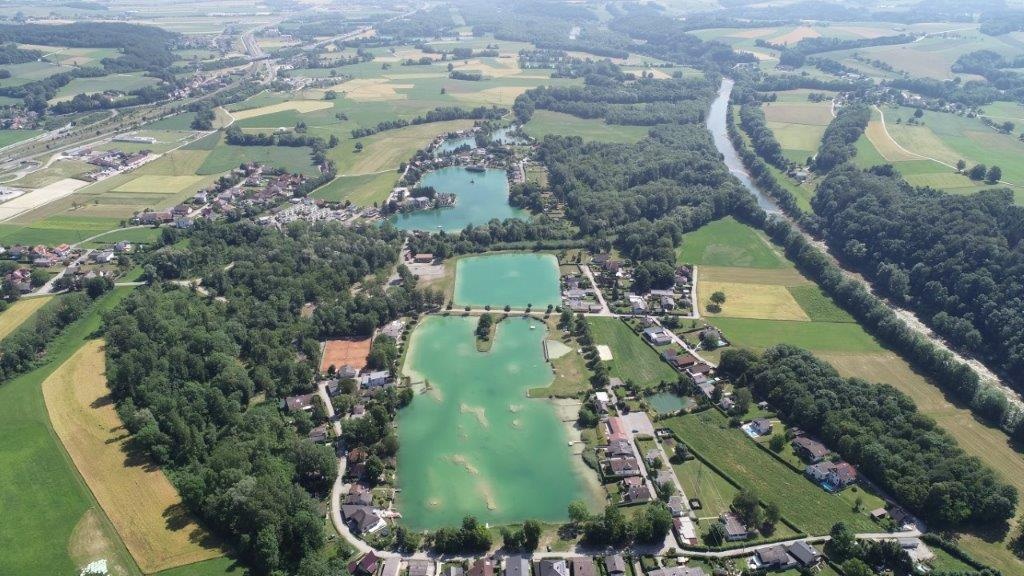
Via Auhof Castle, the trail runs along Ausee IV through the alluvial forest to Günzinger Brücke. Crossing the Ybbs, you reach the next Ybbs crossing, the Hohe Brücke, via Truckenstetten and Freidegg. After this Ybbs crossing, the trail leads back towards Blindenmarkt, to the Auseen lakes and finally to the town center.
Sturdy footwear
The Blindenmarkt Ybbsfeldweg leads us from the town center to Auhof Castle, via Mühlbachstraße to Lake IV and along the floodplain forest, across the Ybbs near Günzing to Truckenstetten. On the municipality area of Ferschnitz, we reach Freidegg via the hill at Hogbauer and return to the Ybbs. After the Hohe Bridge, crossing large fields, we reach the Blindenmarkt lakes and then back to the town center.
Trail marking: blue-white, no. "9"
Large park & ride parking lot at Blindenmarkt station near the town center
Motorway junction "Amstetten Ost," follow the signs towards Blindenmarkt town center
Take the Westbahn line to the Blindenmarkt stop or the local bus to the Blindenmarkt town center stop